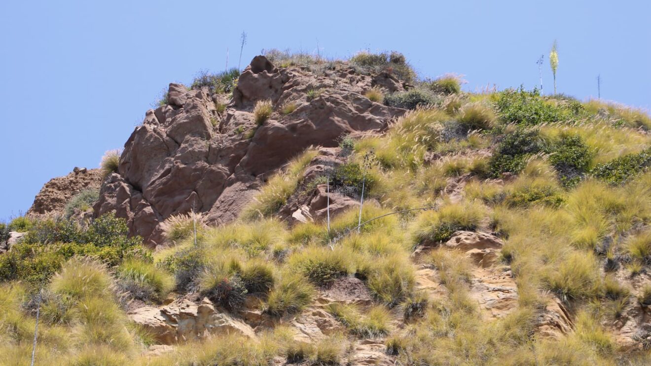
A prescribed burn is scheduled for Friday, June 26, in the Santa Monica Mountains above Topanga Canyon, and hikers, cyclists, equestrians, and nearby residents should expect visible smoke, temporary access restrictions, and possible delays around the burn area.
The Mountains Recreation and Conservation Authority announced that the Los Angeles County Fire Department will lead the operation near Santa Maria Road and Dirt Mulholland Road, with support from the Los Angeles City Fire Department, the Los Angeles County Sheriff’s Department, and MRCA Fire Division personnel. The work is planned for 9:00 a.m. to 6:00 p.m., but officials say it depends on weather, fuel moisture, air quality, and smoke-dispersal conditions.
For LA outdoor users, the practical takeaway is simple: if your Friday plans include the Topanga side of the Santa Monica Mountains, build in flexibility, watch for closure signs, and avoid trying to enter restricted areas. This is a managed fire operation, not a wildfire, but it will still affect trails, roads, visibility, and air quality in the immediate area.
What we know
- What: a prescribed plot burn designed to reduce wildfire risk and improve ecosystem resilience.
- When: Friday, June 26, 2026, from 9:00 a.m. to 6:00 p.m., if conditions remain favorable.
- Where: near Santa Maria Road and Dirt Mulholland Road in the Santa Monica Mountains above Topanga Canyon.
- Lead agency: Los Angeles County Fire Department, in coordination with MRCA.
- Visitor impact: visible smoke, possible reduced visibility, minor traffic delays, temporary road restrictions, and nearby trail closures during active operations.
MRCA says the burn will be conducted one plot at a time over roughly eight hours using a mosaic approach. That means crews will create a patchwork of burned and unburned vegetation rather than blackening one continuous block. The goal is to reduce connected fuels that can help a wildfire move quickly through canyons, ridgelines, and drainages, while also supporting habitat diversity.
Trail and road access
The official notice says temporary closures of nearby roads and trail systems will be implemented in and around the project area during active operations. Closure locations are expected to be marked, and advance notification signs are to be posted one day before the scheduled burn.
Because the announcement does not list every affected trail by name, visitors should treat the Santa Maria Road, Dirt Mulholland Road, and upper Topanga area as potentially disrupted on Friday. If you were planning a route through this section of the mountains, consider choosing a different trailhead for the day, especially if you need a predictable outing or are hiking with children, dogs, older adults, or anyone sensitive to smoke.
Smoke and safety context
Officials warn that smoke may be visible between 9:00 a.m. and 6:00 p.m. and may linger after ignition. People sensitive to smoke, including children, older adults, and those with respiratory conditions, are advised to limit outdoor activity if smoke is present.
MRCA also asks the public not to report visible smoke from the designated prescribed burn area as a wildfire. However, if smoke or fire is seen outside the project area, residents should contact local authorities. That distinction matters in the Santa Monica Mountains, where planned fuel work and real wildfire starts can look similar from a distance.
The operation is part of a broader effort to reduce wildfire intensity and improve community protection in one of LA’s most fire-exposed mountain landscapes. For trail users, the safest move is to respect closure signs, avoid stopping on narrow roads to watch the operation, and check official channels before heading into Topanga-area trail systems on Friday.