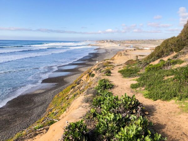
Malibu’s 27 miles of Pacific Coast Highway hide some of the most varied outdoor experiences in Southern California: pocket beaches with sea caves, hidden canyon waterfalls, the highest peak in the Santa Monica Mountains (Sandstone Peak, 3,111 ft), and the broad sand crescents that defined an entire generation of West Coast surf culture.
The fiches below cover state beaches, MRCA-managed coastal trailheads and the inland canyons that climb back up to the spine of the Santa Monicas. Several remain in active recovery from the January 2025 Palisades Fire and the older 2018 Woolsey Fire — the alerts box flags what’s open, what’s partial and what’s still closed, with links to the official status page in each case.
Which Malibu beaches are open after the Palisades Fire?
The eastern Malibu coast (around the Palisades) was the hardest hit. As of 2026 the MRCA still lists Castro Crest, Sara Wan Trailhead and most Corral Canyon access as closed. Central and western Malibu beaches (Zuma, Point Dume, El Matador, Leo Carrillo) are open. Check the official MRCA park listing in each fiche.
Where can I see the famous Malibu sea caves?
El Matador State Beach (part of Robert H. Meyer Memorial State Beach) is the iconic spot. La Piedra and El Pescador, the two beaches immediately upcoast, offer similar geology with fewer people. Best at low tide; check NOAA tides before going.
Is the trail to Sandstone Peak hard?
It’s a strenuous 7.2-mile loop from Circle X Ranch with 1,700 ft of gain. The Mishe Mokwa half is well-graded; Tri-Peaks and the final scramble to Sandstone Peak get rugged. Plan 4–5 hours, start before 7 AM in summer, carry 3 L of water. Easiest version: the 3-mile out-and-back to Sandstone Peak only.
Where can I see whales from the coast?
Point Dume State Beach is the classic LA County whale-watching headland — gray whales from December through April. Malibu Bluffs Open Space also offers a wide ocean panorama. Bring binoculars and arrive at dawn for the highest activity.
Can I walk between the Malibu state beaches?
Yes — at low tide you can walk the sand between El Matador, La Piedra and El Pescador (about 2.5 miles round trip). The Santa Monica to Will Rogers Beach walk along the bluffs/sand is another classic, roughly 4 miles each way.

 7 min
7 min