Address: 25623 Pacific Coast Highway
Park features: Restrooms, Dogs On Leash, Easy Hiking, Mountain Biking, Picnic Tables, Parking Lot, Filming Location, Drinking Water
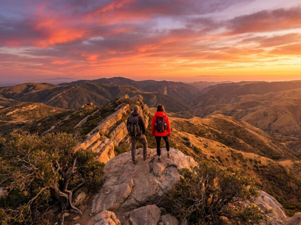
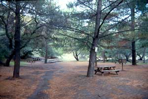
The Sara Wan Trailhead at Corral Canyon provides easy access to regionally significant 1000-acre Corral Canyon Park in Malibu on Pacific Coast Highway between Malibu Canyon and Kanan Dume Roads. The trailhead provides parking, picnic areas, restrooms, educational displays, sitting benches, and seasonal access to L.A. County-operated Dan Blocker State Beach. A 2.5-mile-long hiking trail leads into the last undeveloped canyon that flows freely to the ocean. The trail climbs through pristine wilderness to the Puerco Canyon watershed divide and provides spectacular ocean and mountain views. It then descends onto an ancient marine terrace with native bunch grasses. Along this route, the hiker passes through coastal sage scrub, coastal bluff native grassland, and the riparian corridor of Corral Creek with its alder, coast live oak, California sycamore, and willow trees. A pocket of coastal salt marsh is located where the creek meets the Pacific Coast Highway bridge. An MTA bus stop is located at the entrance to the park.
Trails & hiking
Featured route: Corral Canyon Loop (trail details & live conditions on AllTrails)
- Distance: 2.5 mi (4.0 km) — Loop
- Elevation gain: 521 ft (159 m), high point 528 ft
- Difficulty: Moderate
- Typical time: 1–1.5 hr
- Rating: 4.3/5 (2,208 AllTrails reviews)
- Good for: Hiking, Trail running
- On the trail: Dogs on leash, Kid-friendly, Beaches, Rivers, Views, Wildflowers, Wildlife
Conditions vary by season. Check live weather and air quality on the AllTrails trail page before heading out.
Location
25623 Pacific Coast Highway
Approximate coordinates: 34.0395, -118.748
View on OpenStreetMap
Photos
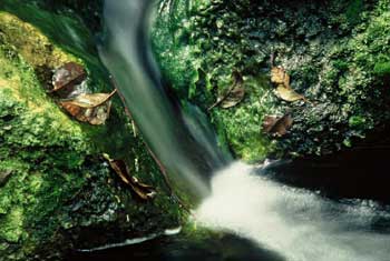
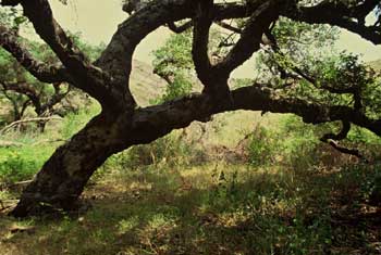
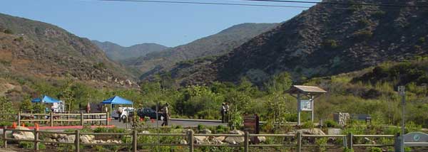
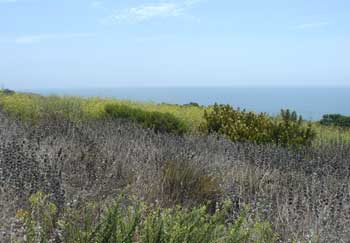
Photo credits: H. David Seawell (1-2) , SMMC Archives (3-4)
Related documents
Nearby parks
Park description restored from the 2017 lamountains.com archive (Santa Monica Mountains Conservancy). Trail statistics courtesy of AllTrails. Map data © OpenStreetMap contributors.