Beyond the Santa Monica Mountains, Los Angeles County’s open-space network climbs the ridges that ring the San Fernando, Santa Clarita, San Gabriel and Puente valleys. These foothill parks tend to be drier, hotter and steeper than the coastal range — but they’re also where you’ll find the county’s highest urban-accessible summits (Verdugo Peak at 3,126 ft, Mission Point at 2,772 ft) and its richest concentration of historic sites, from California’s first commercial oil well at Mentryville to the gold-discovery site at Placerita Canyon.
Several of the most popular Pasadena-area trails — including all of Eaton Canyon — remain closed by official LA County order until at least December 2027 following the January 2025 Eaton Fire. The alerts box below flags the closures and points to the most relevant currently-open alternatives.
Is Eaton Canyon open in 2026?
No. Eaton Canyon Natural Area Park and the surrounding Angeles National Forest trails are closed by official LA County order until at least December 31, 2027, following the January 2025 Eaton Fire. The closure protects critically vulnerable post-fire habitat, allows damaged infrastructure to be rebuilt, and limits exposure to fast-spreading poodle-dog bush. For nearby alternatives, see Brookside Park (Rose Bowl Loop) and Hahamongna Watershed Park.
Which Valley hike has the best views?
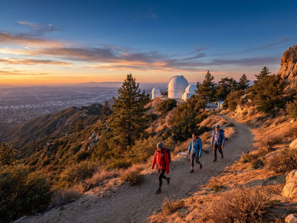
O’Melveny Park’s Mission Point loop (4.3 mi, 1,400 ft gain) gives the broadest north-Valley panorama. Verdugo Peak via Chandler Motorway (6.8 mi out-and-back) tops out at 3,126 ft with views from downtown LA to the San Gabriels. Towsley Canyon Loop (6.2 mi) is the classic Santa Clarita summit hike.
Where can I hike with kids in the Valleys?
Whittier Narrows Recreation Area’s Legg Lake Loop (2.2 mi, flat, partially paved) and Brookside Park’s Rose Bowl Loop (3.1 mi, flat) are stroller-friendly. Placerita Canyon’s Nature Center trails offer interpretive signs and a small ranger-station museum on weekends.
Are there real waterfalls in the Valleys?
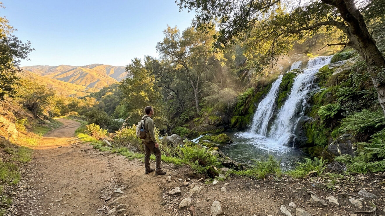
Placerita Canyon’s seasonal waterfall (3-4 miles in via the main trail) is reliable December through April after rain. The Verdugo and Puente Hills trails are generally dry except for a few weeks after a major storm.
Where can I hike with my dog?
Most Valleys & Foothills parks allow dogs on leash, including Powder Canyon, Hellman Park, the Verdugo Mountain trails, Towsley Canyon and the Whittier Narrows loop. California State Parks (Placerita Canyon main trail, Santa Susana Pass SHP) typically do not allow dogs on hiking trails — check each fiche.

 7 min
7 min