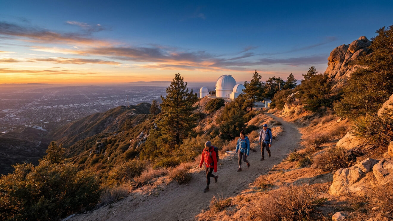
The Mount Wilson hike represents one of the most rigorous physical tests in the San Gabriel Mountains, featuring a vertical ascent of up to 5,640 feet. Despite the allure of the historic observatory where Edwin Hubble identified galaxies beyond our own, many hikers underestimate the technical nature of the steep, sun-exposed terrain. The primary challenge lies in managing extreme temperature fluctuations and limited water sources across 14.5 miles of rocky ridges.
This guide provides a technical breakdown of the primary routes, essential permit requirements, and seasonal safety protocols to ensure a successful summit. We analyze the logistical differences between the Sierra Madre and Chantry Flat approaches to optimize your preparation.
- Mount Wilson Hike Technical Profile and Elevation
- 2 Primary Routes for the Mount Wilson Ascent
- How to Handle the Climb Through Key Waypoints?
- Risk Management and Seasonal Hiking Windows
Mount Wilson Hike Technical Profile and Elevation
The Mount Wilson ascent covers 14 miles with a 4,700-foot vertical gain, rivaling Mount Baldy in intensity. It features the historic 100-inch Hooker telescope summit where Edwin Hubble proved the universe expands beyond our galaxy.
5,715 ft
4,700 ft
14 miles
Physical Demands and Training Requirements
The trek demands conquering a 4,700-foot elevation gain. Hikers must sustain energy over a 14-mile round trip. The trail maintains a relentless upward grade throughout.
Wilson rivals Mount Baldy in difficulty. It lacks Baldy’s peak altitude but provides superior vertical gain. Prioritize stamina-focused training for this specific climb.
Build significant leg strength. Maintain high-volume cardiovascular preparation for success.
While the history is inspiring, reaching the summit requires choosing between two distinct paths that offer very different terrain challenges.
Comparing Technical Difficulty and Trail Conditions
The Sierra Madre route demands a steady, sun-exposed climb. Conversely, the Chantry Flat approach offers more shade but introduces complex canyon descents. Each path tests your endurance and technical footwork through varying ecological zones and steep gradients.
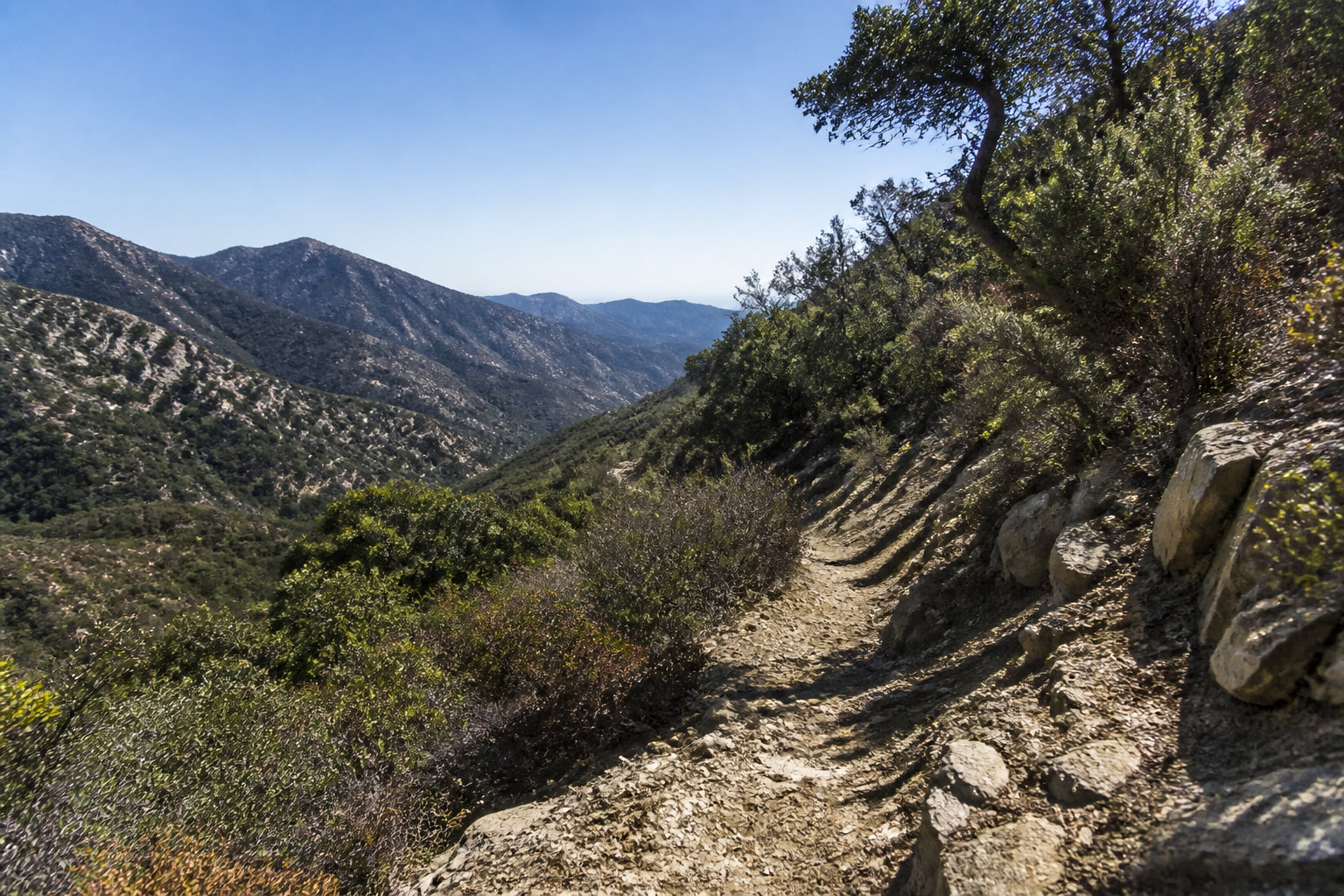
Terrain consists of loose granite and steep switchbacks. Lower Sierra Madre sections suffer from heavy sun exposure. Shade remains rare until you reach the higher elevations characterized by mixed conifer forests.
Choosing the right route depends entirely on your tolerance for direct sun versus your comfort with canyon navigation.
Trailhead Access and Residential Parking Regulations
Parking logistics in Sierra Madre require precision. Residential zones enforce strict weekend parking restrictions to manage hiker volume. Always check local signage to avoid expensive citations from local authorities.
- Mira Monte Avenue parking rules must be strictly followed.
- Adventure Pass requirements for Chantry Flat are mandatory.
- Arrival before 7:00 AM is essential to secure a parking spot.
Consult this complete guide to hiking Mount Wilson in Los Angeles for further logistics. Proper planning prevents common access issues at these popular trailheads.
Verify permit status online. Ensure your Adventure Pass is clearly displayed on your vehicle dashboard.
How to Handle the Climb Through Key Waypoints?
Navigating the physical climb is only half the battle; knowing the specific milestones helps manage your energy and safety.
Managing the Climb from Orchard Camp to the Summit
Identify Orchard Camp as your primary milestone. This historic site offers a logical location for a brief rest. The trail grade steepens significantly immediately following this point.
Monitor progress via The Bench at Manzanita Ridge. This junction signifies the final ascent toward the observatory. Watch for changing wind patterns as you traverse the exposed ridge line.
Implement a strict turnaround time strategy. Aim to reach the summit by noon during winter months. This ensures you descend before the dangerous mountain shadows lengthen across the terrain.
Infrastructure and Amenities at the Observatory Peak
The Cosmic Cafe operates on weekends during the hiking season. Sandwiches and cold drinks provide a much-needed calorie boost for the descent. Always carry cash just in case their system is down.
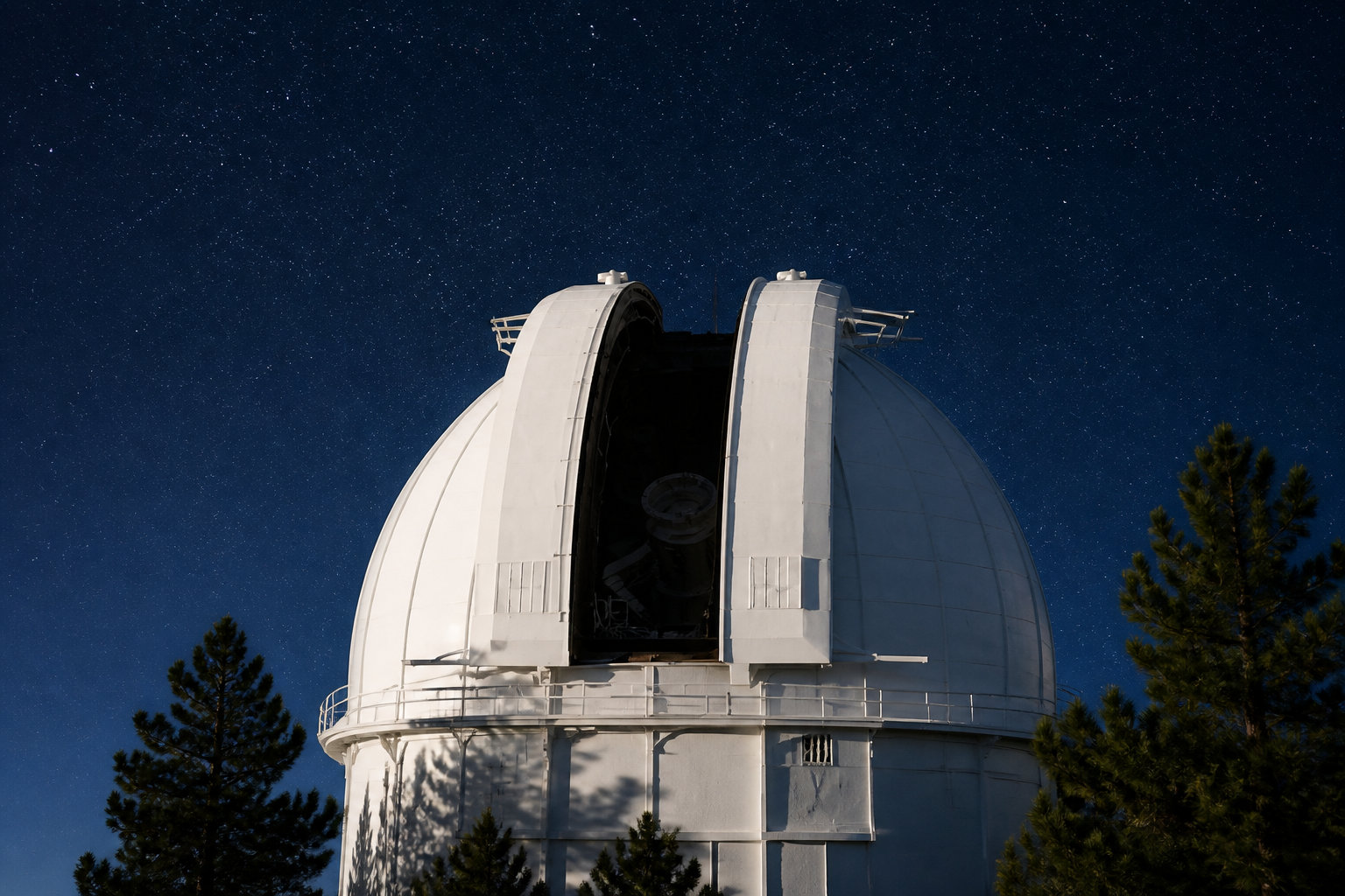
Utilize the public restrooms located near the main parking lot. Dedicated water refill stations are available on-site. These amenities are seasonal and may close during extreme drought or winter periods.
Verify current conditions at the Eaton Canyon Natural Area Park Nature Center before attempting the full climb to the summit observatory.
Reliable infrastructure is concentrated near the telescope domes. Plan your hydration based on these specific points. Confirm seasonal hours before departure to ensure access to these facilities.
Risk Management and Seasonal Hiking Windows
Even with summit amenities, the San Gabriel range is unforgiving, making preparation for environmental hazards a top priority.
Hydration Sources and Temperature Variability
Identify reliable water sources like First Water. Seasonal dry spells make these streams unreliable in late summer. Carry at least three liters of water.
| Season | Temp Range | Gear Essential | Risk Level |
|---|---|---|---|
| Summer | High | High hydration | Heat stroke risk |
| Fall | Variable | Layering | Moderate |
| Winter | Low | Microspikes needed | Ice hazards |
| Spring | Mild | Layering | Low to Moderate |
Recommend specific gear for terrain. Sturdy boots are non-negotiable for the loose rock. Trekking poles save your knees.
Wildlife Hazards and Community Trail Etiquette
Address poison oak identification along the lower canyon. Rattlesnakes are common in sun-drenched areas. Keep your eyes on the trail edges at all times.
Identify poison oak in lower canyons; watch trail edges for rattlesnakes; use sturdy boots for loose granite; carry at least 3 liters of water.
Explain dog regulations. Pets must remain on a leash to protect local wildlife. This also prevents unnecessary conflict with other hikers.
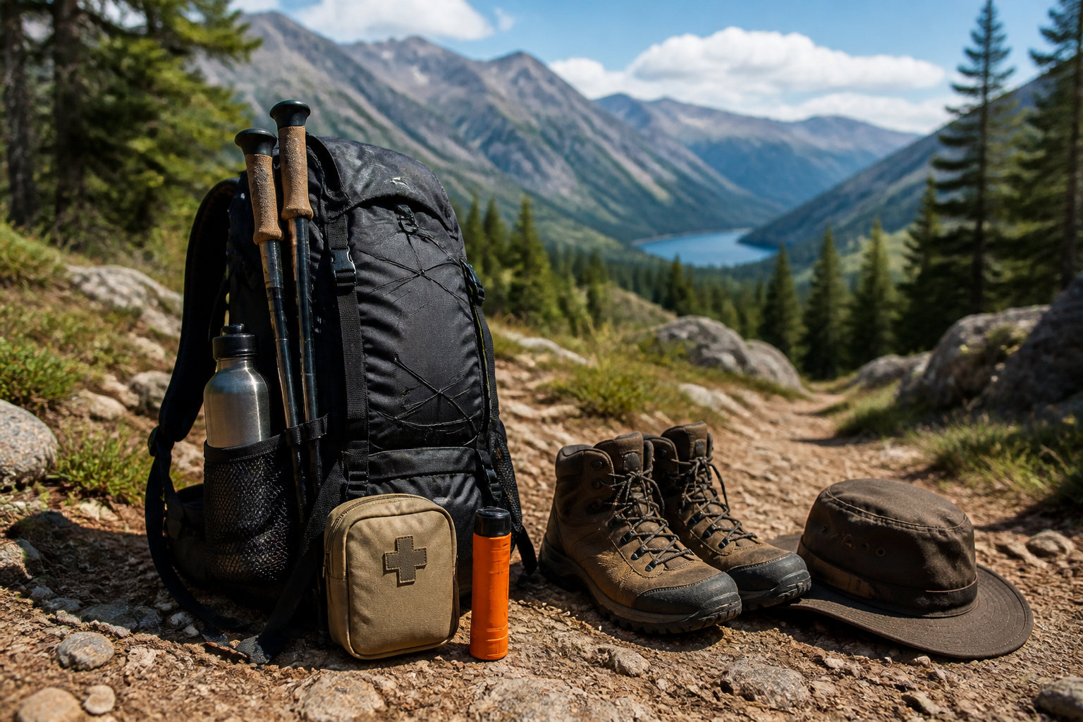
Refer to local guidelines for hiking with your dog in LA to ensure compliance.
Practice Leave No Trace. Pack out all trash to preserve the forest’s natural beauty.
Mastering the Mount Wilson hike requires managing a 5,640-foot vertical gain and 14.5-mile distance. Prioritize early departures to secure Sierra Madre parking and reach the historic 100-inch Hooker telescope before afternoon shadows lengthen. Prepare your endurance now to stand where Hubble redefined the cosmos. Conquer the peak before the summer heat intensifies.
FAQ
What is the total distance and vertical gain of the Mount Wilson hike?
The primary ascent from Sierra Madre covers a 14.5-mile round trip with a significant 5,640-foot vertical gain. Alternatively, the Chantry Flat loop spans approximately 13.5 to 14.5 miles, featuring a 4,200 to 4,600-foot elevation increase depending on the specific trail junctions utilized.
How difficult is the climb to the Mount Wilson summit?
This excursion is classified as difficult and is recommended exclusively for high-fitness hikers. The terrain involves relentless upward grades, rocky sections requiring occasional use of hands, and technical footwork near the 5,712-foot peak, typically requiring 6 to 8 hours to complete.
Are there food and water facilities available at the top of Mount Wilson?
The Cosmic Cafe, located at the observatory pavilion, operates on weekends from April through December, offering sandwiches and refreshments. While public restrooms are available near the summit parking area, hikers must carry at least three liters of water as natural sources like First Water or streams near Spruce Grove are seasonal and often unreliable.
Which route is better: Sierra Madre or Chantry Flat?
The Sierra Madre trail is a historic, sun-exposed route offering a steady climb through Little Santa Anita Canyon and Orchard Camp. In contrast, the Chantry Flat approach provides more shade and passes landmarks like Sturtevant Falls, though it involves more complex canyon navigation and requires an Adventure Pass for parking.
What are the parking requirements and best arrival times for the trailheads?
For Chantry Flat, the parking lot opens at 6:00 AM and fills rapidly; a valid Adventure Pass or National Parks Pass is mandatory. In Sierra Madre, hikers must adhere to strict residential parking regulations near Mira Monte Avenue, making an early arrival essential to secure a legal spot and avoid citations.
What historical significance does the Mount Wilson Observatory hold?
Founded in the early 20th century, the site features the landmark 100-inch Hooker telescope, completed in 1917. It is the location where Edwin Hubble conducted revolutionary observations regarding the expansion of the universe, fundamentally altering modern astronomical understanding.
Are dogs permitted on the Mount Wilson trails?
Dogs are allowed on the trails but must remain on a leash at all times to ensure the safety of local wildlife, including rattlesnakes and pumas. While pets are welcome in the outdoor areas of the observatory summit, they are strictly prohibited inside the observatory buildings.
What is the ideal season to attempt this hike?
The optimal window for this ascent is from September through May to avoid the intense summer heat of the San Gabriel Mountains. While winter hiking is possible, visitors should prepare for occasional snow at higher elevations and significant temperature fluctuations between the canyon floor and the summit.