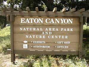
Address: 27201 Pico Canyon Road, Newhall
Park features: Restrooms, Dogs On Leash, Easy Hiking, Equestrian, Mountain Biking, Picnic Tables, Parking Lot, Filming Location, Historical Sites
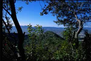
Pico Canyon Located in the north end of Santa Clarita Woodlands Park, Pico Canyon was the site of the first commercially successful oil well in the western United States—Pico No 4. Today the canyon offers hikers, bikers, and equestrians not only a glimpse of California history, but shaded trails into the rugged and lushly vegetated headwaters of Pico Canyon, and the Santa Susana Mountains. Trails into the backcountry are accessed from a paved road leading out of Mentryville. Mentryville Located at the base of Pico Canyon’s chaparral-dominated slopes, Mentryville was an 1880’s oil boom town built around Pico No. 4. Named for Charles Alexander Mentry, the oil well’s tenacious driller–and later superintendent of the company that would become Chevron—Mentryville was home to over 100 families until the early 1930’s. Pico No. 4 went on to become the longest continually operating oil well in the world, closing in 1990. Historic buildings still stand including Charles Mentry’s grand thirteen-room mansion, a one-room school house, and a period barn. Pico No. 4 are registered as California State Historical Landmarks. Trained volunteers are available on the 1st and 3rd Sundays of the month from 12 to 4 p.m. to lead interpretive tours of the historical grounds and buildings. Directions: From the Golden State Freeway (I-5) in Valencia, exit on Lyons Road/ Pico Canyon Road. Head west on Pico Canyon Road. Nears its end, bear left at a Y and continue to the end of the road. A large parking lot is opposite historic Mentryville.
Trails & hiking
Featured route: Mentryville: Pico Canyon Trail (trail details & live conditions on AllTrails)
- Distance: 7.1 mi (11.4 km) — Out & back
- Elevation gain: 1286 ft (392 m), high point 2086 ft
- Difficulty: Moderate
- Typical time: 3–3.5 hr
- Rating: 4.5/5 (312 AllTrails reviews)
- Good for: Hiking, Walking, Running
- On the trail: Dogs on leash, Views, Historic sites, Partially paved
Conditions vary by season. Check live weather and air quality on the AllTrails trail page before heading out.
Location
27201 Pico Canyon Road, Newhall
Approximate coordinates: 34.37, -118.628
View on OpenStreetMap
Photos
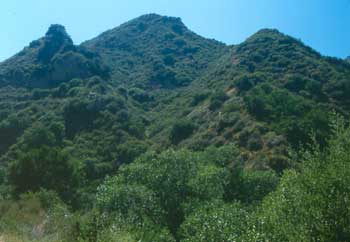
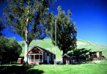
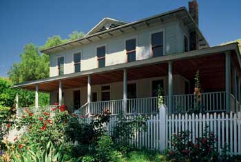
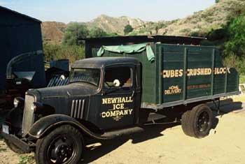
Photo credits: Craig Collins (1, 3-4) , Karin Mueller (2)
Related documents
Nearby parks
Park description restored from the 2017 lamountains.com archive (Santa Monica Mountains Conservancy). Trail statistics courtesy of AllTrails. Map data © OpenStreetMap contributors.