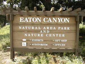
Address: 2345 Old Fullerton Road, La Habra Heights
Park features: Restrooms, Dogs On Leash, Easy Hiking, Equestrian, Mountain Biking, City Views, Parking Lot, Filming Location, Drinking Water, ADA Accessible
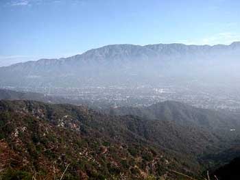
Located in the Puente Hills, and owned by the Puente Hills Habitat Preservation Authority. there is one main entrance to this area. It is located along Fullerton Road between East Road and Harbor Blvd. in La Habra Heights. When you see the green entrance sign, parking can be accessed by driving into the park where you will find a parking lot and horse warm-up riding ring. These trails will take you through coastal sage scrub and toyon/sumac chaparral and through excellent walnut and oak woodlands. There are many trails to follow and many areas to explore! Another access point to Powder Canyon is located in Schabarum Park near the horse stables at the end of the developed part of the park. This will meet the previous trails if you go straight up to the ridgeline. Directions: From Los Angeles, take the 10 Freeway east to the south 605 freeway, and then the Pomona Freeway (60) east. Exit at Fullerton Road. Turn right onto Old Fullerton Road. The park is located at 2345 Old Fullerton Road. From Orange County, take the 57 Freeway north and exit at Pathfinder Road, turn left (west). On Fullerton Road turn left (south). Turn right on Old Fullerton Road. The park is located at 2345 Old Fullerton Road. Parking: A large parking lot is available at the trailhead.
Trails & hiking
Featured route: Black Walnut and Powder Canyon Motorway Loop (trail details & live conditions on AllTrails)
- Distance: 2.1 mi (3.4 km) — Loop
- Elevation gain: 387 ft (118 m), high point 1007 ft
- Difficulty: Moderate
- Typical time: 1–1.5 hr
- Rating: 4.7/5 (2,805 AllTrails reviews)
- Good for: Birding, Hiking, Mountain biking, Trail running, Horseback riding
- On the trail: Dogs on leash, Kid-friendly, Stroller-friendly, Forests, Views, Wildflowers, Wildlife
Conditions vary by season. Check live weather and air quality on the AllTrails trail page before heading out.
Location
2345 Old Fullerton Road, La Habra Heights
Approximate coordinates: 33.957, -117.967
View on OpenStreetMap
Photos

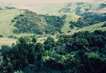
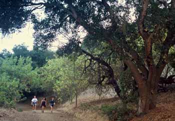
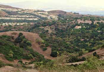
Photo credits: SMMC Archives (1-4)
Related documents
Nearby parks
Park description restored from the 2017 lamountains.com archive (Santa Monica Mountains Conservancy). Trail statistics courtesy of AllTrails. Map data © OpenStreetMap contributors.