Address: 360 North Arroyo Blvd., Pasadena
Phone: (626) 744-7275
Park features: Restrooms, Dogs On Leash, Picnic Tables, Parking Lot, Filming Location, Drinking Water, ADA Accessible, Event Facilities, Wedding Venue
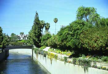
Pasadena sits on an alluvial fan, deposited by stream systems which eroded the bedrock of the San Gabriel Mountains to the north. The primary stream was carved out of a great gorge called the Arroyo Seco. In 1922 the world-famous Rose Bowl was completed in an area of the Arroyo Seco designated as Brookside Park. Covering 61.1 acres, Brookside is Pasadena's largest park. Adjacent to the Rose Bowl is Brookside Golf Course with its two 18-hole championship courses. The Rose Bowl Aquatics Center houses two 50-meter pools, and is the host facility for premier local, national, and international swimming, diving, and water polo events. Lessons for the public are offered. In addition, Brookside Park contains picnic accommodations, five lighted tennis courts, four badminton courts, two handball courts, two lighted softball diamonds, six lighted horseshoe courts, archery, and lawn bowling facilities. The park's regulation baseball diamond, the Jackie Robinson Stadium, has grandstand seating for 4,200 people, team rooms, showers and lockers. Parking: Extensive parking facilities available off of Arroyo Blvd.
Trails & hiking
Featured route: Rose Bowl Loop (trail details & live conditions on AllTrails)
- Distance: 3.1 mi (5.0 km) — Loop
- Elevation gain: 124 ft (38 m), high point 915 ft
- Difficulty: Easy
- Typical time: 1–1.5 hr
- Rating: 4.6/5 (4,008 AllTrails reviews)
- Good for: Road biking, Walking, Running
- On the trail: Dogs on leash, Kid-friendly, Partially paved
Conditions vary by season. Check live weather and air quality on the AllTrails trail page before heading out.
Location
360 North Arroyo Blvd., Pasadena
Approximate coordinates: 34.166, -118.171
View on OpenStreetMap
Photos
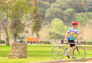
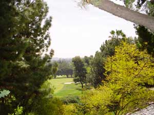
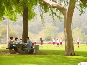
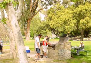
Photo credits: Lynne Dwyer (1-4)
Nearby parks
Park description restored from the 2017 lamountains.com archive (Santa Monica Mountains Conservancy). Trail statistics courtesy of AllTrails. Map data © OpenStreetMap contributors.