
Address: 100 block of Pasadena Avenue
Park features: Dogs On Leash, Easy Hiking, Equestrian, City Views, Drinking Water
The three-acre Arroyo Seco South Pasadena Woodland and Wildlife Park is located in the City of South Pasadena along the southern bank of the Arroyo Seco, near the intersection of York Boulevard and the Arroyo Seco Parkway (SR-110). The park features rarely seen native California Walnut trees. Two small bioswales are planted with native grasses and allow stormwater to infiltrate into the soil instead of flowing into the concrete-lined Arroyo Seco, adjacent to the park. A lookout point near the center of the site offers views of Mount Washington, the historic York Boulevard Bridge, the Verdugo Mountains, and the San Gabriel Mountains in the distance. The park utilizes native arroyo stone for seatwalls and other amenities. Habitat restoration incorporates three separate plant communities: the California Sycamore Association, an Oak Savannah grassland, and a Walnut Woodland. The boundary of each type is loosely aligned with the park's trails, creating opportunities to compare and contrast the habitat types and the wildlfe they support. Educational material about native habitat and wildlife, natural sciences, the history of the site, and an overview of the Arroyo Seco Watershed is incorporated into trailside displays, a kiosk, and plant identification markers throughout the site.
Trails & hiking
Featured route: Arroyo Seco Trail (South Pasadena Section) (trail details & live conditions on AllTrails)
- Distance: 3.8 mi (6.1 km) — Out & back
- Elevation gain: 167 ft (51 m), high point 802 ft
- Difficulty: Easy
- Typical time: 1–1.5 hr
- Rating: 4.4/5 (263 AllTrails reviews)
- Good for: Birding, Walking, Running
- On the trail: Dogs on leash, Kid-friendly, Partially paved, Rivers
Conditions vary by season. Check live weather and air quality on the AllTrails trail page before heading out.
Location
100 block of Pasadena Avenue
Approximate coordinates: 34.113, -118.162
View on OpenStreetMap
Photos
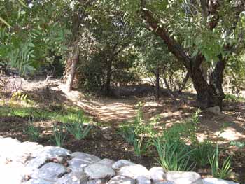

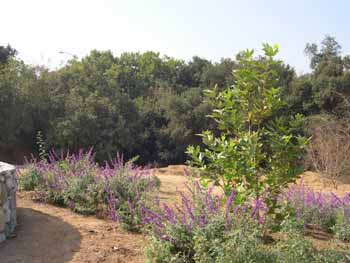
Photo credits: Cara McLane (1-3)
Related documents
Nearby parks
Park description restored from the 2017 lamountains.com archive (Santa Monica Mountains Conservancy). Trail statistics courtesy of AllTrails. Map data © OpenStreetMap contributors.


