Address: 24335 The Old Road, Newhall
Park features: Restrooms, Dogs On Leash, Easy Hiking, Mountain Biking, Picnic Tables, Parking Lot, Filming Location, Nature Center, Drinking Water, ADA Accessible, Event Facilities, Wedding Venue
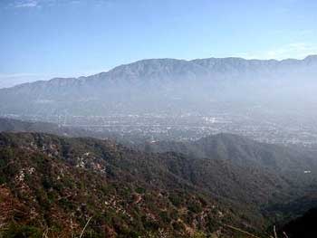
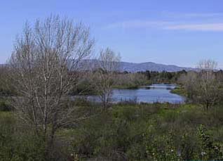
Ed Davis Park in Towsley Canyon is named for former State Senator Ed Davis, who championed the preservation of Towsley Canyon. The park offers visitors a peaceful haven just west of the I-5 between the Santa Clarita and San Fernando Valleys. Trails for walking, hiking, and mountain biking lead visitors through an astonishing variety of habitat types. Notable park features include Towsley Creek, and spectacular water-worn rock formations in Towsley Gorge, as wells as scenic trail viewpoints and oak woodland. Towsley Lodge is a beautiful Spanish-style ranch house that sits atop a large green knoll surrounded by cottonwoods. The lodge is available for private day or overnight group rental. It provides a wonderful staging area for all types of events from corporate meetings to weddings to overnight slumber parties. There are two large living rooms with comfortable furnishings and wood-burning fireplaces, and a fully equipped kitchen. Upstairs, three bedrooms provide overnight accommodations for up to 18 guests. A large backyard area includes an outdoor patio with a fire pit and an azure swimming pool. For information about hosting a special event in Towsley Canyon click here .
Location
24335 The Old Road, Newhall
Approximate coordinates: 34.376, -118.572
View on OpenStreetMap
Photos

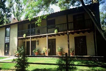
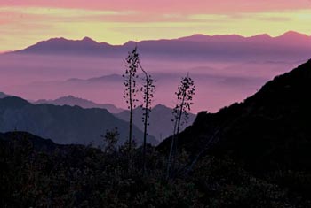

Photo credits: Craig Collins (1, 3-4) , Karin Mueller (2)
Related documents
Nearby parks
Park description restored from the 2017 lamountains.com archive (Santa Monica Mountains Conservancy). Trail statistics courtesy of AllTrails. Map data © OpenStreetMap contributors.