Address: Smith Road east of Kuehner, Simi Valley
Phone: (805) 584-4400
Park features: Easy Hiking, Equestrian, Parking Lot
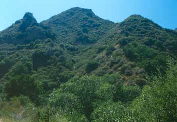
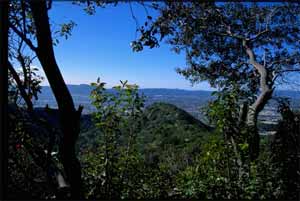
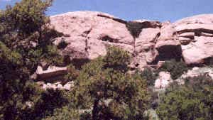
Ray "Crash" Corrigan, a cowboy and actor purchased what would become the Corriganville movie ranch in 1937 for $11,354. The beautiful, rocky Simi Valley landscape was the setting for the filming of hundreds of movies and T.V. Westerns in the 1940’s and 1950’s. In 1949, Corrigan opened the property to the public as a western-themed amusement park. The park featured stuntmen shows, movie lots, a working western town, Indian crafts, stagecoach rides, pony rides, and boating on a lake. It attracted as many as 20,000 people on weekends. In 1988, 190 acres of land comprising the principal working areas of the original Corriganville Ranch were purchased by the City of Simi Valley for use as a Regional Park. The eastern part of the park is part of the Santa Susana Pass wildlife corridor connecting the Simi Hills with the Santa Susana Mountains. Operated by the Rancho Simi Recreation and Park District, the park includes trails, park benches, picnic tables, public restrooms, drinking fountains, and ample parking.
Trails & hiking
Featured route: Corriganville Park Loop (trail details & live conditions on AllTrails)
- Distance: 1.7 mi (2.7 km) — Loop
- Elevation gain: 269 ft (82 m), high point 1175 ft
- Difficulty: Easy
- Typical time: 0.5–1 hr
- Rating: 4.5/5 (1,102 AllTrails reviews)
- Good for: Birding, Hiking, Trail running, Walking
- On the trail: Dogs on leash, Kid-friendly, Views, Historic sites
Conditions vary by season. Check live weather and air quality on the AllTrails trail page before heading out.
Location
Smith Road east of Kuehner, Simi Valley
Approximate coordinates: 34.271, -118.661
View on OpenStreetMap
Photos

Related documents
Nearby parks
Park description restored from the 2017 lamountains.com archive (Santa Monica Mountains Conservancy). Trail statistics courtesy of AllTrails. Map data © OpenStreetMap contributors.