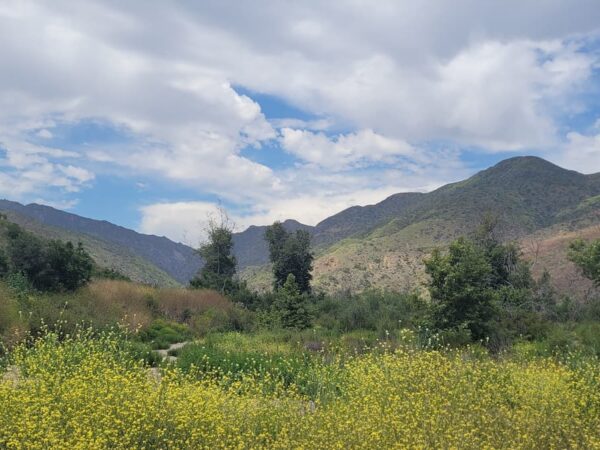
Sandstone Peak stands as the highest point in the Santa Monica Mountains at an elevation of 3,111 feet. Many hikers struggle with the steep, direct ascent and miss the diverse geological landmarks hidden within the canyon.
This guide analyzes the 6.1-mile mishe mokwa trail to sandstone peak to help you navigate the loop and optimize your timing for the best coastal views. We will break down the essential logistics and trail junctions to ensure a successful summit.
- Mishe Mokwa Trail to Sandstone Peak: Essential Logistics
- Step-by-Step Navigation of the 6-Mile Loop
- Geological Landmarks and Native Flora Highlights
- Safety Protocols and Optimal Seasonal Timing
Mishe Mokwa Trail to Sandstone Peak: Essential Logistics
The 6.1-mile Mishe Mokwa loop reaches Sandstone Peak at 3,111 feet, the highest point in the Santa Monica Mountains. Access requires a free parking spot at the Yerba Buena Road trailhead lot.
6.1 miles (loop)
3,111 feet
Moderate
Yerba Buena Road
Securing a spot at the primary Yerba Buena Road lot is vital. It fills quickly on weekends, so arrive before 8:00 AM.
Trailhead Access and Parking Strategies
Locate the primary lot on Yerba Buena Road. It fills quickly on weekends. Arrive before 8:00 AM to secure a spot near the trailhead.
Use dirt turnouts along the road if the main lot is full. Check for “No Parking” signs to avoid tickets. Always park completely off the narrow pavement for safety.
No permits are required for vehicles. Ensure your car is locked and valuables are hidden.
Technical Specs: Distance and Elevation Gain
The full loop spans roughly 6.1 miles. It offers a moderate challenge for most hikers. Expect about 1,700 feet of total climbing throughout the journey to the summit peak.
A shorter 3-mile out-and-back route exists via the Backbone Trail. This path is steeper but faster. It suits those with limited time or lower endurance levels for long loops.
Average hikers finish the loop in three hours. Allow four hours if you plan to stop at Inspiration Point.
Step-by-Step Navigation of the 6-Mile Loop
While the numbers define the effort, the actual path winds through diverse terrain that requires careful attention at key junctions.
- Start at Yerba Buena Road trailhead.
- Hike 0.5 miles to the junction and veer left for Mishe Mokwa.
- Pass Echo Cliffs and reach Split Rock at 1.8 miles.
- Ascend to Sandstone Peak summit via the Backbone Trail junction.
The Northern Ascent via Carlisle Canyon
Start at the trailhead and hike 0.5 miles to the first junction. Veer right to stay on the Mishe Mokwa Trail. This section leads deep into the scenic Carlisle Canyon.
Pass the Echo Cliffs where climbers often scale vertical walls. The trail remains relatively flat and well-shaded here.
Reach Split Rock for a rest. This spot is one of the easy hikes in LA County milestones for families.
Reaching the Summit via the Backbone Trail
The climb intensifies as you approach the Backbone Trail junction. Follow signs toward the summit. A short, rocky scramble is necessary to reach the W. Herbert Allen memorial plaque.
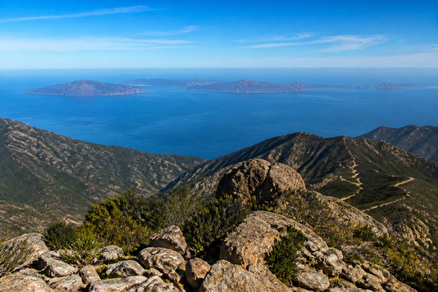
The 360-degree view from Sandstone Peak offers a stunning perspective of the Pacific Ocean and the Channel Islands.
Take the spur trail to Inspiration Point. It adds minimal distance but provides the best photography angles.
Descent Routes and Return Path Selection
Head down the Backbone Trail to complete the loop. This southern section is very exposed to the sun. Watch your footing on the loose gravel and steep switchback sections nearby.
Look for the large water tank near the end. It signals the final mile. The trail levels out significantly.
Finish at the Circle X Ranch area. The loop concludes here.
Geological Landmarks and Native Flora Highlights
Beyond the physical challenge, the trail serves as a living museum of California’s volcanic past and resilient botanical life.
Volcanic Origins of Echo Cliffs and Balanced Rock
These formations consist of Conejo Volcanics from the Miocene epoch. Massive eruptions shaped the Santa Monica Mountains millions of years ago. Echo Cliffs showcase sheer vertical faces of ancient igneous rock. It is a unique geological site in Southern California.
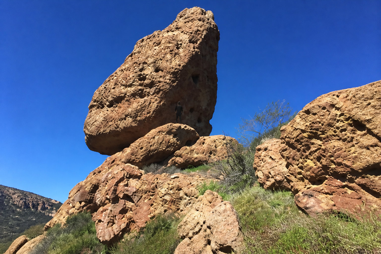
Balanced Rock is a massive monolith perched precariously on a ridge. Wind and water erosion carved its distinct shape over millennia. It remains a favorite landmark for local landscape photographers.
| Landmark | Feature | Primary Activity |
|---|---|---|
| Sandstone Peak | 3,111 ft Elevation | Hiking |
| Echo Cliffs | Igneous Rock | Climbing |
| Split Rock | Split Boulder | Picnic |
| Balanced Rock | Volcanic Monolith | Photography |
Identifying Coastal Sage Scrub and Bay Laurel
Coastal sage scrub dominates the lower elevations of the canyon. You will smell the aromatic California sagebrush along the path. These plants are highly adapted to the dry Mediterranean climate.
Shaded groves of bay laurel provide relief near seasonal stream crossings. The leaves offer a pungent, spicy scent when crushed. This vegetation is slowly recovering from the recent Woolsey Fire.
- California Buckwheat
- Laurel Sumac
- Toyon
- Yucca Whipplei
Safety Protocols and Optimal Seasonal Timing
Understanding the environment is only half the battle; timing your visit is essential for a safe and rewarding experience.
High heat exposure in summer often exceeds 90°F. Carry at least 3L of water per person. Poison Oak is prevalent near creek beds; identify it by its triple-leaf pattern.
Heat Management and Poison Oak Avoidance
Summer temperatures often exceed 90 degrees in the canyons. Carry at least three liters of water per person. Start your hike at dawn to avoid the midday sun exposure.
Poison oak is common near the creek beds and shaded areas. Look for the distinct triple-leaf pattern that turns red in autumn. Wear long pants to protect your skin from oils. Wash your gear immediately after returning home.
Follow specific guidelines for hiking with your dog. Safety remains the priority.
Best Windows for Wildflowers and Photography
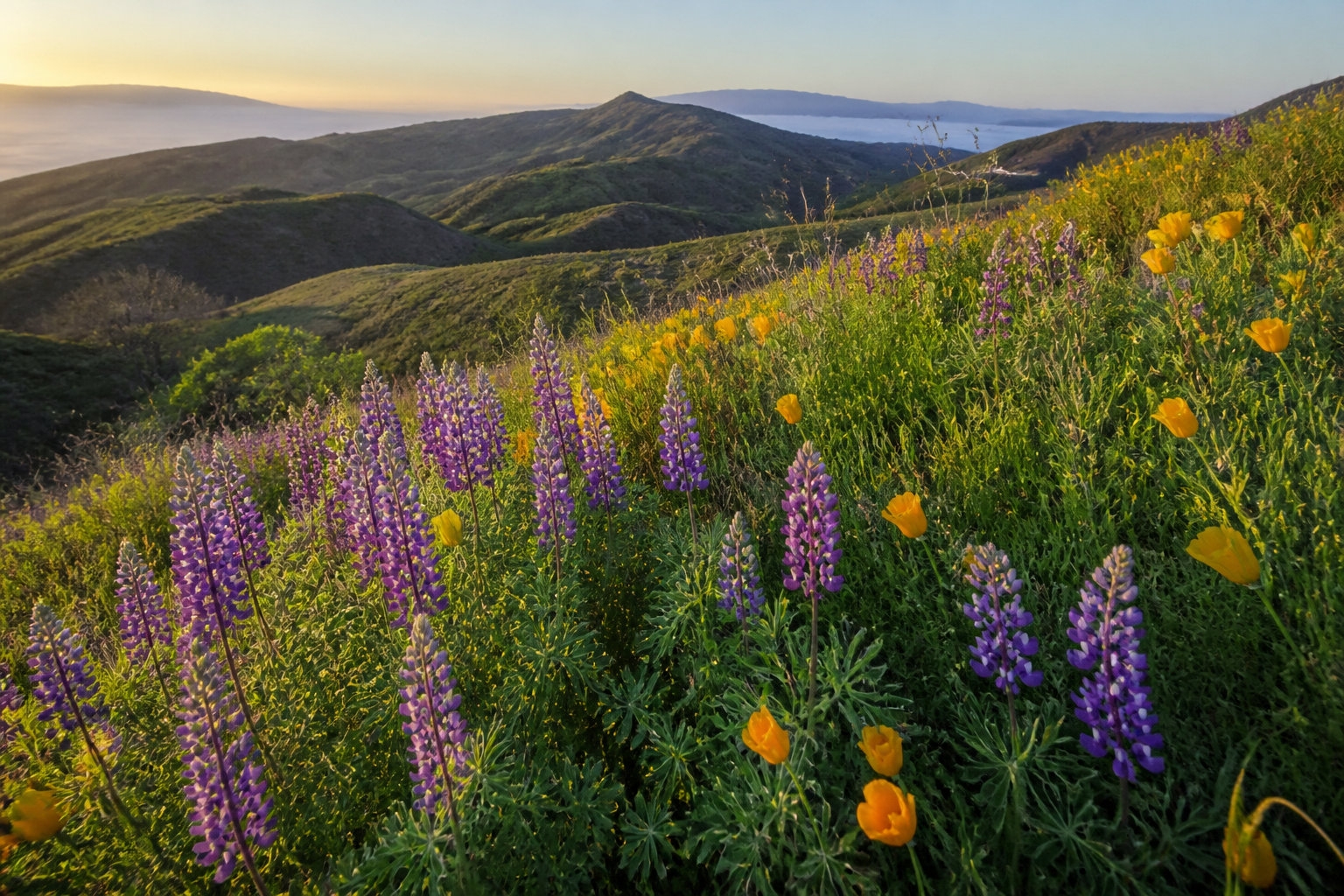
Spring is the peak season for vibrant wildflower displays. Lupine and poppies blanket the slopes in purple and gold. The hills look remarkably green during March and April months.
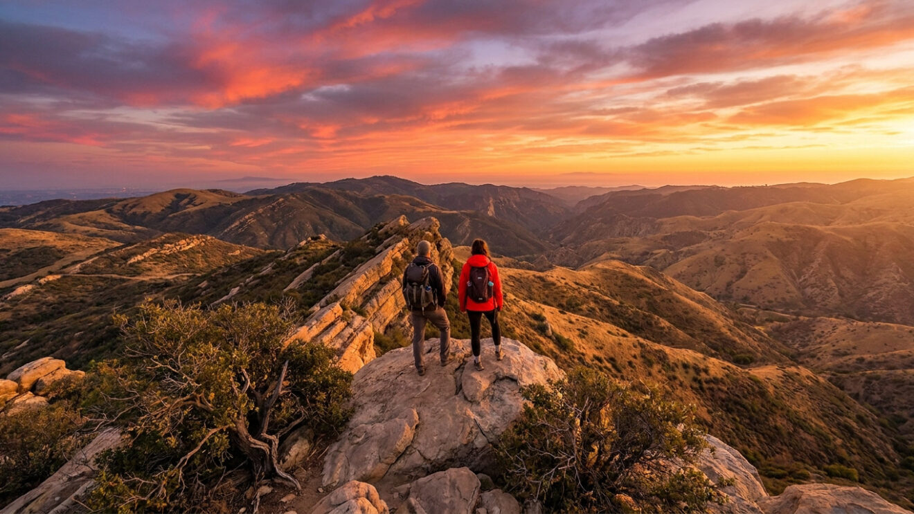
Visit during the golden hour for the best lighting on volcanic rocks and Pacific Ocean views. Winter offers the clearest views of the Channel Islands.
Winter offers the clearest views of the distant Channel Islands. Cold fronts clear the haze from the atmosphere. Sunset at Inspiration Point provides the most dramatic lighting for photos.
Planning your arrival for the golden hour ensures the best contrast on the volcanic rock faces and the ocean.
Conquering the 3,111-foot summit via the 6.1-mile Mishe Mokwa loop offers unmatched Pacific vistas and unique volcanic landmarks like Echo Cliffs. Start your ascent at dawn to secure parking and beat the heat. Experience the Santa Monica Mountains’ highest peak before the next seasonal shift.
FAQ
What is the total distance and difficulty level of the Mishe Mokwa loop?
The full Mishe Mokwa loop spans approximately 6.1 miles and is classified as an ideal challenge for intermediate beginners and novice hikers seeking a moderate ascent. The trail reaches an elevation of 3,111 feet at Sandstone Peak, which stands as the highest point in the Santa Monica Mountains.
How long does it take to hike to Sandstone Peak?
Average hikers typically complete the 6.1-mile loop in approximately three hours. However, it is recommended to allocate at least four hours if you intend to visit Inspiration Point or spend time at the summit. For those with limited time, a shorter 3-mile out-and-back route is available via the Backbone Trail.
Where is the best place to park for the Mishe Mokwa trailhead?
Primary parking is located in a dedicated lot on Yerba Buena Road, though it frequently fills up early on weekends. If the main lot is at capacity, hikers utilize dirt turnouts along the road; ensure your vehicle is parked completely off the pavement and check for “No Parking” signs to avoid citations.
What are the primary geological landmarks along the trail?
The trail features several notable volcanic formations, including the Echo Cliffs, which are popular with rock climbers, and the distinct Balanced Rock monolith. Another key site is Split Rock, located approximately 1.8 miles into the hike, which features a large boulder split in two and serves as a shaded picnic area.
Is the Sandstone Peak trail currently open to the public?
Yes, the trail is fully operational. Although the area sustained damage during the 2018 Woolsey Fire, the route was officially reopened to hikers in February 2019. Visitors can now observe the natural recovery of the coastal sage scrub and bay laurel throughout the canyon.
What safety precautions should be taken regarding heat and vegetation?
Temperatures in the canyons can exceed 90 degrees, making early morning starts and carrying three liters of water essential. Additionally, hikers should remain vigilant for poison oak near creek beds and wear long pants to prevent contact with the plant’s oils.