California features over 3,000 miles of diverse trails, ranging from coastal bluffs to high-altitude Sierra peaks. Navigating these remote environments often results in critical failures when hikers rely solely on standard cellular mapping.
Identifying the best hiking apps for california ensures reliable offline access to official park data and professional topographic layers. This guide analyzes the technical tools required to maintain safety and precision in the backcountry.
- Selection Criteria: Evaluating the Best Hiking Apps for California
- AllTrails: The Leading Platform for Crowdsourced Trail Data
- Gaia GPS: Superior Topographic Mapping for Remote Sierra Treks
- California by Alex Gugel: Localized Park Guides and Official Data
- CalTopo: Professional-Grade Planning for Off-Trail Exploration
- PeakVisor: Visualizing High-Altitude Summits via Augmented Reality
- Field Performance: Battery Management and GPS Signal Troubleshooting
Selection Criteria: Evaluating the Best Hiking Apps for California
AllTrails leads for crowdsourced data, while Gaia GPS offers superior USGS topographic layers. Reliability in the Sierras requires offline caching and high-frequency satellite signal management to prevent GPS jumping. Essential hiking apps for navigating California trails must prioritize these technical benchmarks.
The mention of satellite signal management leads directly into the technical requirements for offline navigation.
Technical requirements for reliable offline navigation
Map caching remains a fundamental necessity for safety. Active satellite signal management prevents data loss in remote California zones. Reliability depends entirely on pre-loading data before leaving cellular coverage at the trailhead.
Vector maps save significant device storage space during long treks. Raster maps offer better visual detail for complex terrain analysis. Choose your format based on available hardware storage capacity to ensure smooth performance.
Verify GPS accuracy at the trailhead before entering remote mountain areas. Check signal strength immediately upon arrival. Calibrate the internal compass frequently to maintain directional integrity throughout the entire excursion.
“Offline map caching isn’t just a convenience; in the deep canyons of the Sierras, it is a fundamental safety requirement for every serious navigator.”
Subscription models and data management priorities
One-time fees offer substantial long-term savings for budget-conscious hikers. Subscriptions provide constant map updates and real-time data. Evaluate your frequency of use to determine the best financial value for your specific needs.
High-resolution topographic layers reveal hidden water sources in arid regions. They also show precise elevation changes for steep ascents. This detail is vital for safe desert hiking maneuvers and backcountry route planning.
Advanced weather overlays add a critical layer of safety for high-altitude peaks. Offline search capabilities justify the extra cost for intermediate hikers. These tools transform a smartphone into a professional-grade navigator.
| Feature | Free Version | Paid Subscription | Verdict |
|---|---|---|---|
| Offline Maps | No | Yes | Essential |
| Topo Layers | Basic | Advanced | Better Accuracy |
| Trail Alerts | No | Yes | Prevents Detours |
| 3D Maps | No | Full | Enhanced Planning |
| GPS Tracking | Limited | Full | Complete Analysis |
AllTrails: The Leading Platform for Crowdsourced Trail Data
While technical specs matter, the power of community data often provides the most current picture of the trail ahead.
Real-time trail conditions and community alerts
Recent user reviews offer immense value regarding seasonal trail hazards. Snow levels change weekly in high-elevation zones. User photos confirm current creek crossings before you arrive.
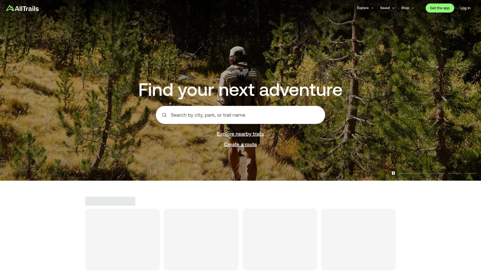
Filter routes by specific features like waterfalls or difficulty levels. Use the interface to find dog-friendly paths easily. Sort by elevation gain for specific training sessions.
Check user photos for recent creek crossings and snow levels; filter for dog-friendly paths or elevation gain for specific training needs.
Evaluate the accuracy of community-reported trail closures carefully. Check the dates on all comments. Reliable reports usually appear within forty-eight hours.
Offline map functionality in AllTrails Plus
Download maps for use without cellular service before your trip. Select the specific area before leaving home. Confirm the download is complete in the app.
The 3D map visualization allows for better terrain understanding. View ridges and valleys clearly. This helps in identifying steep ascent sections during your planning phase.
The off-route notification system is essential hiking apps for navigating California trails and preventing errors. The app pings when you stray. It saves time and energy on long loops.
Gaia GPS: Superior Topographic Mapping for Remote Sierra Treks
For those venturing beyond marked paths into the high Sierras, professional-grade mapping becomes the primary requirement. Utilizing essential hiking apps for navigating California trails ensures safety when cellular service vanishes in deep wilderness areas.
Satellite signal management in high-altitude terrain
Gaia GPS maintains tracking in deep canyons using multi-constellation GNSS support. This reduces signal drift near granite walls. Such precision is vital for high-altitude navigation.
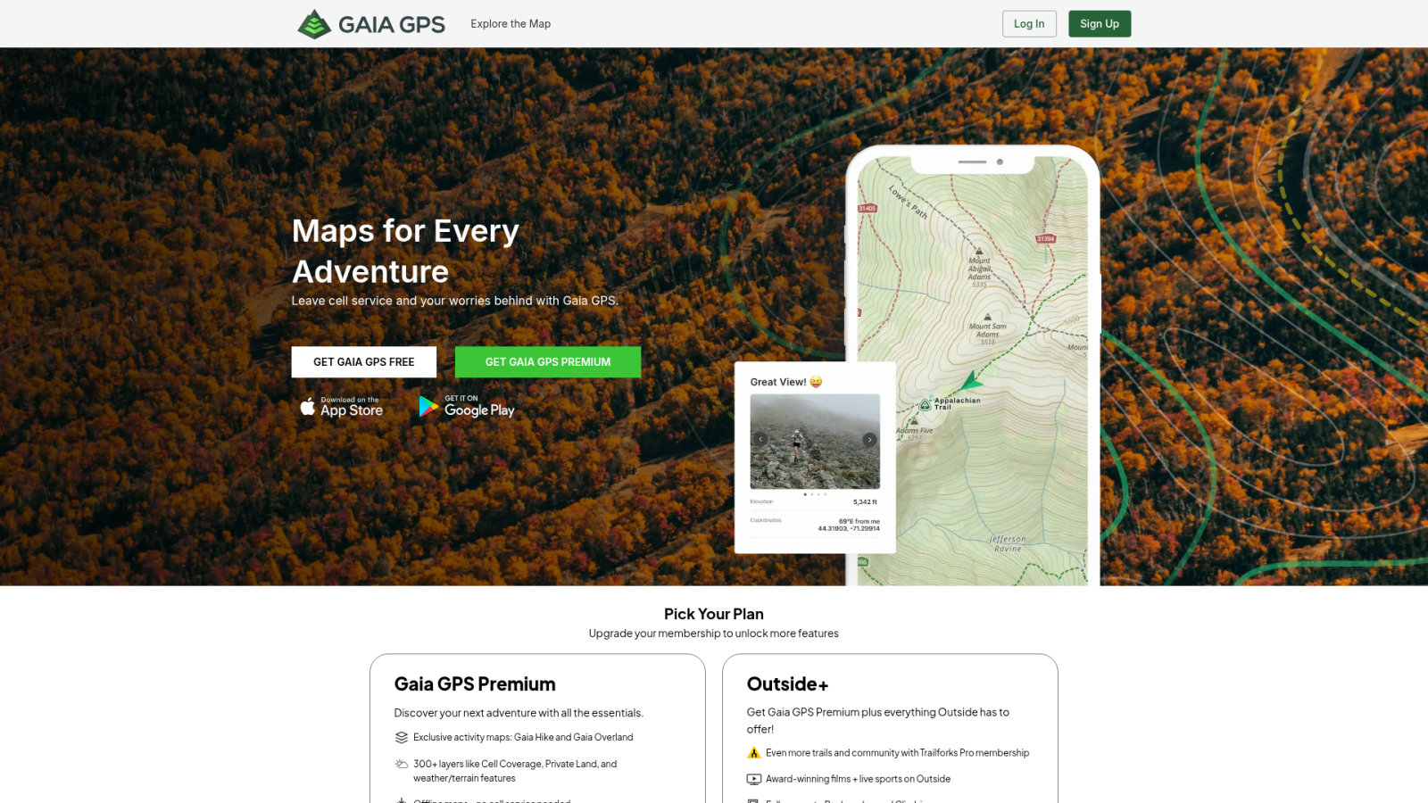
Uses multi-constellation GNSS support to reduce signal drift near granite walls; allows layering USGS and Forest Service maps to see logging roads.
Users layer USGS and Forest Service maps to reveal terrain details. Forest Service layers identify logging roads for epic day hikes on the Pacific Crest Trail near Los Angeles. High-resolution imagery helps spot campsites and verify vegetation density.
Integration with external hardware and wearables
Syncing routes with Apple Watch or Garmin devices is efficient. Export data directly from the app to view turn-by-turn directions on your wrist. This keeps your hands free during technical climbs.
Importing GPX files from third-party blogs is a standard process. Open files directly within the Gaia interface for immediate use. The app also pairs with InReach satellite communicators to share live locations with family.
California by Alex Gugel: Localized Park Guides and Official Data
While global apps offer breadth, localized tools provide a depth of official data that is hard to beat for state park visitors.
Official government data and state park maps
This app uses verified agency data for precise park boundaries. Maps come directly from official sources. This ensures legal trail usage at all times.

Built-in guides cover over 400 parks. Read about local flora and fauna. Discover historical facts about each specific region.
Download entire park sectors for offline use. Access data without any roaming charges. Essential hiking apps for navigating California trails must include such reliable tools for easy hikes in LA County.
Campsite tracking and point-of-interest navigation
Filter thousands of campsites by amenities like water or fire pits. Find quiet spots away from crowds. The database is extensive and reliable.
Locate landmarks using the offline index without a connection. Navigate to hidden vistas easily. Search functions remain fast and functional anywhere.
Track your progress over several years with recording features. Save your favorite secret spots privately. This utility is perfect for finding family campgrounds near LA with verified details.
CalTopo: Professional-Grade Planning for Off-Trail Exploration
For the true explorer, simple trail lines aren’t enough; you need to understand the physics of the slope itself.
Understanding topographic layers and slope angle shading
Slope angle shading identifies avalanche risks. Colors indicate terrain steepness. Avoid dangerous zones during winter treks.
Customize map views for backcountry needs. Combine multiple layers for unique views. Adjust transparency to see hidden details.
Relief shading visualizes complex mountain contours. View terrain in three dimensions. Identify easy passes through rocky ridges.
Custom map creation for remote wilderness zones
Build personalized maps for off-trail routes. Draw lines on the screen. Add markers for water sources.
- No battery failure risk
- Large scale overview
- Easy to mark with a pencil
- Essential backup for GPS failure
Generate high-resolution PDF files for printing. Use waterproof paper for results. Physical backups prevent navigation failure.
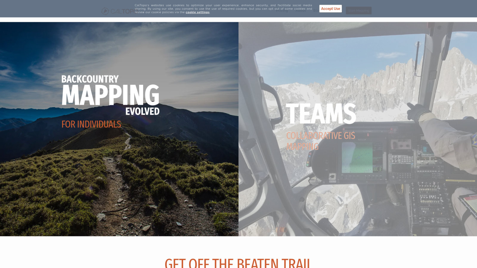
Share custom map links with partners. Send a URL via text. Ensure everyone has the same data.
- Draw custom lines on screen.
- Add water source markers.
- Generate high-resolution PDF.
- Print on waterproof paper.
PeakVisor: Visualizing High-Altitude Summits via Augmented Reality
Beyond navigation, understanding the peaks surrounding you adds a new dimension to the California wilderness experience.
Identifying summits with augmented reality tools
Point your phone at the horizon. Names and elevations appear instantly on screen. The AR camera identifies peaks in the Sierra ranges effortlessly.
All mountain data is stored locally. It works even in the deepest wilderness. The offline peak database functions perfectly without any network.
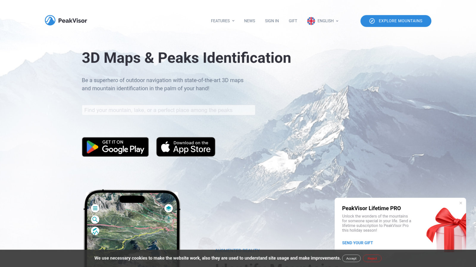
Compare heights of neighboring peaks. Learn the names of distant ranges. Elevation data is provided for every visible summit.
3D map visualization for high-altitude planning
See the path from a bird’s eye view. Identify steep sections before you start. 3D terrain flyovers provide significant benefits for route visualization.
Monitor your climbing speed and effort. Adjust your pace to save energy. The app allows you to track vertical gain in real-time.
Plan your arrival before sunset. Find the best light for photography. Sun and moon position tracking is essential for safety.
Field Performance: Battery Management and GPS Signal Troubleshooting
Even the best software is useless if your hardware fails halfway through a grueling mountain ascent.
Battery preservation strategies for long-distance treks
Active tracking requires aggressive energy conservation. Lower screen brightness to minimum levels. Close all unnecessary background applications immediately.
Cold temperatures accelerate battery depletion. Keep the device close to your body. Use an insulated pouch in winter.
Turn off cellular and Wi-Fi signals by activating airplane mode. The GPS chip still works independently.
Redundancy: Combining digital tools with physical maps
Physical maps and compasses are vital backups. Electronics fail due to water or drops. Paper maps never run out of battery.
Transfer coordinates from phone to paper for high precision. Use the UTM grid. Mark your position with a pencil.
True mountain safety lies in redundancy; your phone is a powerful tool, but your compass is a definitive lifeline when technology fails.
Note the exact location of downed trees for the community. Share information once you return.
Mastering the best hiking apps for California requires integrating AllTrails’ community insights with Gaia GPS’s technical precision. Prioritize offline map caching and satellite signal management to ensure safety across the Sierras. Equip these digital tools now to navigate every remote canyon with absolute confidence.
FAQ
Which hiking applications provide the most reliable offline maps for California trails?
Reliable offline navigation is essential due to frequent cellular dead zones in California’s wilderness. AllTrails Plus and Gaia GPS are industry leaders, allowing users to download detailed maps before departure. The “California” app by Alex Gugel also offers 340 specialized maps designed specifically for offline use in state and national parks.
How can I access official government trail data for California State Parks?
The California app by Alex Gugel is the primary resource for verified agency data. It integrates official information from government sources covering over 400 parks. This ensures that trail boundaries, legal usage, and point-of-interest data are accurate and compliant with current park regulations.
What features should I look for in a professional-grade mapping tool?
Advanced navigators prioritize high-resolution topographic layers and technical overlays. Gaia GPS excels with USGS and Forest Service layers, while CalTopo is preferred for off-trail exploration due to its slope angle shading. These tools allow for precise terrain analysis, which is vital for managing safety in complex mountain environments.
Is it possible to track real-time trail hazards and seasonal conditions?
Yes, crowdsourced platforms like AllTrails provide real-time updates through community reviews and alerts. Users frequently upload photos and comments regarding snow levels, creek crossings, and trail closures. These reports are typically updated within forty-eight hours, offering a current snapshot of environmental hazards.
How do I manage smartphone battery life while using GPS in remote areas?
Effective power management involves reducing screen brightness and closing unnecessary background applications. Utilizing airplane mode is a critical strategy; it disables cellular signals to save energy while allowing the GPS chip to function independently. Additionally, keeping the device close to the body helps prevent battery drain caused by cold temperatures.
Can I sync my hiking routes with wearable devices like an Apple Watch?
Most premium applications, including AllTrails and Gaia GPS, support synchronization with wearables and external hardware. Users can export GPX files or sync data directly to an Apple Watch or Garmin device. This allows for turn-by-turn directions and real-time tracking directly from the wrist, enhancing convenience on the trail.
Why is a physical map still necessary if I use high-quality hiking apps?
Digital tools are powerful but susceptible to hardware failure, water damage, or battery depletion. Maintaining a physical map and compass provides a definitive lifeline and essential redundancy. Paper maps allow for large-scale overview and manual coordinate marking using the UTM grid, ensuring navigation remains possible if technology fails.