Address: End of Corral Canyon Road, Malibu
Park features: Dogs On Leash, Easy Hiking, Equestrian, Mountain Biking, Parking Lot, Nature Center
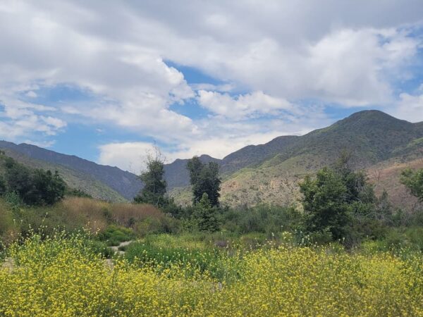
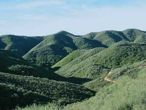
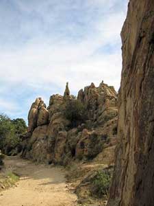
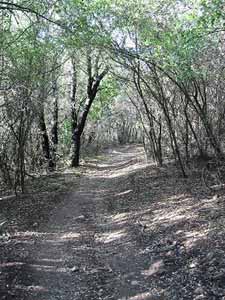
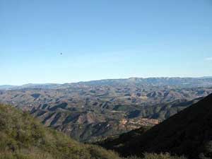
This hike first descends into Upper Solstice Canyon where the pleasant, mostly shaded trail follows a seasonal creek bed. As the trail begins to rise out of the canyon, the views get progressively more spectacular. First, lovely folded green hills emerge, followed by large sandstone formations in the distance. As you gain elevation, ocean views become more prominent. On a clear day, you can see most of the Channel Islands, Catalina, and the Santa Monica coastline. Once over the crest, seemingly endless layers of mountains abound in an almost 360 degree panorama, including views down into Malibu Canyon and beyond. Trailhead: From Pacific Coast Highway in Malibu, head 5.5 miles inland on Corral Canyon Road to a dirt parking lot where the road dead ends. Note that Corral Canyon runs between Malibu Canyon Road and Kanan Road. The best way to take this hike is clockwise, starting with the trailhead for the Backbone trial on the west side of the parking lot, then returning on the Castro Motorway (a fire road).
Trails & hiking
Featured route: Castro Crest: Upper Solstice Canyon to Mesa Peak (trail details & live conditions on AllTrails)
- Distance: 6.6 mi (10.6 km) — Out & back
- Elevation gain: 1243 ft (379 m), high point 2244 ft
- Difficulty: Moderate
- Typical time: 3–3.5 hr
- Rating: 4.5/5 (292 AllTrails reviews)
- Good for: Hiking, Trail running
- On the trail: No dogs, Kid-friendly, Views, Wildflowers, Wildlife
Conditions vary by season. Check live weather and air quality on the AllTrails trail page before heading out.
Location
End of Corral Canyon Road, Malibu
Approximate coordinates: 34.077, -118.756
View on OpenStreetMap
Photos
Nearby parks
Park description restored from the 2017 lamountains.com archive (Santa Monica Mountains Conservancy). Trail statistics courtesy of AllTrails. Map data © OpenStreetMap contributors.