

For a genuine mountain adventure near LA, Mount Baldy’s 10,064-foot summit challenges hikers with steep ascents and exposed ridges on its 11-mile loop. The payoff: panoramic views from the Pacific to the Mojave reward those prepared for its rigor, including 4,000 feet of elevation gain. At 3,068 meters, Los Angeles County’s highest peak demands respect—and offers a rare alpine escape just hours from the city.
Does Hiking Mount Baldy feel intimidating? This alpine titan near Los Angeles rewards the bold with 360-degree views of the Pacific and Mojave—yet demands serious preparation.
As a mother of two and seasoned South American trekker, I’ve mastered balancing adventure with responsibility. Learn which trails—like the exposed Devil’s Backbone or steep Baldy Bowl—align with your skills, why starting before dawn avoids crowds and heat, and how eco-conscious choices (like packing waste out) preserve its wilderness.
Discover gear essentials, hidden dangers like sudden storms, and why this 10,064-foot summit near LA isn’t just a hike—it’s a mountain expedition that reshapes your relationship with nature. Ready to transform fear into focus?
- Mount Baldy: Los Angeles’ very own alpine giant
- How to get to the trailhead
- Choosing Your Path: The Main Hiking Routes
- Understanding the challenge: difficulty, duration, et dangers
- Your essential packing list for a safe adventure
- Insider tips for a successful hike
- The rewards: what you’ll see along the way
- Other Adventures in the San Gabriel Mountains
Mount Baldy: Los Angeles’ very own alpine giant
A summit on the city’s doorstep
From Mount Baldy’s 10,064-foot summit, Los Angeles becomes a distant memory.
The San Gabriel Mountains rise wild and unyielding beneath condors’ wingspan—a 90-minute escape from 19 million people. Unlike Cusco’s ancient terraces, this wilderness guards raw beauty: pine forests echo with chickarees’ chatter while spring wildflowers carpet meadows visible from the Pacific on clear days.
Passing through Manker Flats trailhead feels like crossing into another world.
The San Gabriel Mountains National Monument designation isn’t just bureaucratic—it’s a shield against LA’s sprawl. I’ve lived beside the Andes and Himalayas, but Baldy’s juxtaposition stuns: within 2 hours, concrete gives way to granite where bighorn sheep roam.
More than just a hike
My decade guiding global treks taught me Baldy’s secret danger: proximity breeds peril.
Last year’s 23 rescues reveal hikers underestimating 4,000-foot gains or summer’s 95°F heat. Winter brings its own risks—2023 saw 3 fatalities on icy slopes.
Yet this mountain mesmerizes.
Trail runners chase sub-7-hour summits while families test resilience on Devil’s Backbone. The Sierra Club’s 8,200-foot hut logs visitors from six continents—a testament to Baldy’s magnetic pull. Here, LA’s diversity meets alpine solitude: I’ve shared trailside boulders with Tokyo-based attorneys, Mexico City students, and Himalayan sherpas.
Carry out all trash—help preserve this fragile ecosystem. The 1938 San Antonio Dam’s history whispers through pine needles: this land’s value transcends recreation. It’s a living classroom where every switchback teaches humility and wonder in equal measure.
How to get to the trailhead
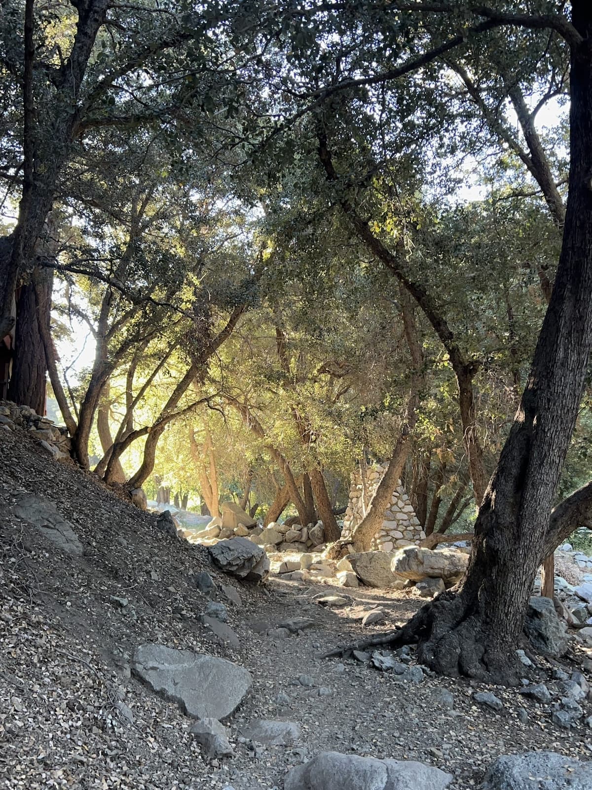
Driving from Los Angeles
From downtown LA, Mount Baldy Road cuts through the San Gabriel Mountains like a lifeline to wilderness. Allow 1h15min minimum (no traffic), but factor in delays on I-10 or CA-210. Take CA-330 north at Redlands, then CA-18 through Running Springs. The final stretch on Mt Baldy Road becomes narrow and winding – check traffic alerts for closures or chain requirements.
The trailhead GPS coordinates (34.24416667, -117.6430556) place you at Manker Campground’s edge.
Most regular vehicles handle the route, though SUVs suit rougher final 2 miles.
Gas up before ascending – no stations exist past Mountain High ski resort. Print directions beforehand as cell reception fades completely at Manker Flats.
Parking at Manker Flats
Street parking along Mt Baldy Road just past Manker Campground is free with no Adventure Pass required.
Permits ($5/day or $30/year) fund trail maintenance. Arrive before 7:00 AM – gear thefts occur from visible car trunks. Primitive toilets exist, but carry water as no water sources exist.
Overflow parking at Mt. Baldy Resort (Memorial Day to Labor Day) offers a free shuttle.
Illegal roadside parking incurs $250+ fines – rangers patrol weekends. Share your itinerary: this stretch sees annual rescue missions due to unprepared hikers underestimating the 10,000ft altitude gain ahead.
Choosing Your Path: The Main Hiking Routes
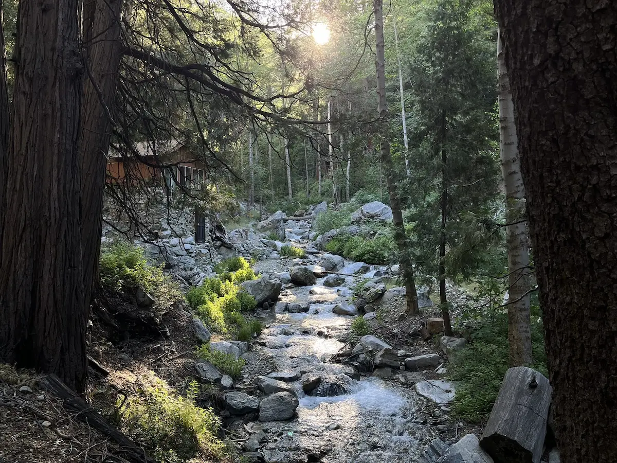
An Overview Of The Trails
Mount Baldy’s trails each tell a distinct story.
The Devil’s Backbone Trail rewards hikers with jaw-dropping ridgelines and 360° vistas, while the Baldy Bowl / Ski Hut Trail challenges with relentless switchbacks through pine forests. The Full Loop combines both for a full-day epic. For the truly adventurous, the Bear Canyon Trail offers solitude—but only for those prepared for its technical demands. Each route demands respect, especially in winter when snow transforms the terrain into a high-stakes gamble.
Comparing The Routes
| Route | Distance (Round Trip) | Elevation Gain | Key Feature | Best For |
|---|---|---|---|---|
| Devil’s Backbone Trail (via Ski Lift Access to Notch) | ~6.6 miles (~10.6 km) | ~2,300 ft (~700 m) | Exposed, narrow ridge with spectacular panoramic views | Hikers who want breathtaking views and don’t mind exposure |
| Baldy Bowl – Ski Hut Trail | ~8.0 miles (~12.9 km) | ~3,900 ft (~1,190 m) | Steep, direct ascent through forests and past the historic Sierra Club Ski Hut | Hikers looking for a strenuous, more sheltered climb |
| The Full Loop (Up Devil’s Backbone, Down Ski Hut) | ~11 miles (~17.7 km) | ~4,000 ft (~1,216 m) | The complete experience, combining epic ridges and a steep, challenging descent | Experienced hikers with strong stamina |
The table above distills the essence of Baldy’s routes. The Devil’s Backbone is a masterclass in exposure, with drop-offs that test nerves but reward with views of the Pacific and Mojave. The Baldy Bowl’s relentless climb reveals hidden meadows and the rustic Ski Hut, a lifeline in storms. The Full Loop demands peak fitness—this isn’t a hike to tackle lightly. For experts, Bear Canyon’s near-20% gradients and remote beauty are a siren call, though its lack of crowds means self-reliance is non-negotiable.
Weather and seasonality drastically shift these trails’ personalities. Summer’s heat turns rocks into ovens, while winter’s snowpack demands ice axes and local knowledge. The Sierra Club Ski Hut, a 1936 relic, offers rare respite mid-ascent. Yet, as one hiker warned: “A wrong turn near the Hut could send you scrambling down a ravine—stick to the yellow markers.” Every route here is a dialogue with risk and reward, where preparation separates memorable days from rescue missions.
Understanding the challenge: difficulty, duration, et dangers
How long does it take and how fit should you be?
The full loop takes 6 to 8 hours for experienced hikers. Covering 17.7 km (11 miles) with nearly 1,216 meters of elevation gain, this is not a casual hike. The altitude alone—over 3,000 meters—can surprise even seasoned walkers. Build stamina with training on shorter, less demanding trails like Echo Mountain (9 km, 445m elevation gain) or Mount Baden-Powell (13.3 km, 853m gain) first. Underestimating Mount Baldy risks exhaustion or worse. Fitness is non-negotiable. The final 1.6 km (1 mile) to the summit feels like a near-40% grade climb—akin to a 30-minute stair climb.
Why Mount Baldy can be dangerous
Mount Baldy’s reputation isn’t exaggerated. Tragic events in recent years highlight its perils: sudden storms, disorientation, and fatal falls. Devil’s Backbone becomes deadly in high winds or ice. Winter transforms the trail into an alpine gauntlet requiring crampons and ice axes—gear most hikers lack. In 2023, two deaths and 15 rescues underscored its unpredictability. The 2021 monsoon-style storm—a 500-year event—dumped 10cm (4 inches) of rain in an hour, washing out trails and stranding hikers. As the Los Angeles Times noted, “Baldy Bowl isn’t a hike; it’s a mountaineering challenge.” Summer thunderstorms add risk: lightning, mudslides, and 45 mph winds turn ridgelines into death traps.
A mountain that demands respect
“Hiking Mount Baldy is not a casual walk; it’s a genuine mountain expedition that demands respect, preparation, and a deep awareness of your limits and the environment.”
The 2023 fatalities of actor Julian Sands (January 2023) and Crystal Paula Gonzalez, and Jin Chung’s two-day leg injury ordeal, emphasize the stakes. Check weather obsessively. Carry a GPS device, helmet, and ice axe in winter. Share your route. This isn’t a trail to conquer—it’s a lesson in humility. Survive it, and the Pacific views will feel earned. Remember: this mountain rewards preparedness and punishes arrogance.
Your essential packing list for a safe adventure
Mount Baldy demands respect. As someone who’s navigated high-altitude trails with kids in tow, I’ve learned that preparation isn’t optional—it’s survival. Every item here is battle-tested, from personal experience and hard-earned lessons.
The non-negotiables
You’ll hike 11 miles with 4,000 feet of elevation gain. Dehydration or sunburns won’t just ruin your day—they’ll end it early. Carry 3 liters of water minimum. No natural sources are reliable beyond the Ski Hut’s spigot, which isn’t always functional. Pack high-calorie snacks like energy bars or trail mix; your body burns fuel fast at 10,000 feet. Skip sunscreen? The UV index here hits 12+ in summer—slather on SPF 30+ every two hours, even if it’s overcast.
Gear that makes a difference
- Sturdy hiking boots: Ankle support is non-negotiable. The rocky terrain and loose gravel on Devil’s Backbone won’t forgive flimsy soles.
- Trekking poles: Save your knees on the 3,900-foot descent. I’ve seen strong hikers twist ankles on the Baldy Bowl’s steep scree slopes without them.
- Layered clothing: Summit temperatures often drop 20°F from the trailhead. I’ve shivered in a t-shirt at 8,000 feet while others roasted in the valley below.
- Navigation tools: Don’t trust trail markers—they’re frequently stolen. Carry a AllTrails offline map and a physical compass. GPS batteries die; your life shouldn’t depend on them.
- Emergency communication device: A Garmin inReach Mini 2 isn’t overkill—it’s sanity. As a mom who’s called for help in a whiteout, I never leave it behind.
This isn’t a list—it’s a survival kit. Every item addresses real risks: altitude sickness, sudden storms, or the 15-minute response window if you’re stranded. Preparedness isn’t about fear; it’s about freedom to roam safely. Pack like your life depends on it—because it does.
Insider tips for a successful hike
Timing is everything
Arriving at sunrise isn’t just about avoiding crowds—it’s a survival strategy. Parking at Manker Flats fills by 8 AM on weekends, and midday heat in summer often tops 30°C below the summit, creating dangerous conditions. Watch the San Gabriels awaken under golden light, but prioritize reaching Devil’s Backbone before afternoon winds. Weekdays mean cooler trails and fewer hikers—perfect for families.
Check, check, and check again
“In the mountains, the weather is the ultimate authority. Never argue with it. If conditions look bad, the mountain will still be there another day.”
Verify forecasts using summit-specific tools like Mt Baldy Resort’s webcams and National Weather Service reports. A 58°F summit reading hides windchill that drops temps 15°F colder at 3,000m. Check hourly updates before departure and at the trailhead. Winter hikes demand checking snow reports—fresh powder turns Devil’s Backbone into an alpine challenge needing proper gear.
The chairlift option
Riding the Magic Carpet lift to Baldy Notch saves 2.5 miles and 1,000 vertical feet, but don’t mistake it for an easy route. Weekday passes start at $50, and operating hours (9 AM–3:30 PM) mean late starters risk missing the last ride. Use this shortcut for Devil’s Backbone’s technical section, but carry emergency supplies—cell service fades beyond the resort. The lift runs May–October; winter visitors must take the full trail.
Consider combining the chairlift with an overnight stay at the Sierra Club Ski Hut. This historic cabin sleeps 12 hikers but books up months in advance—book early or choose weekdays for spontaneous trips.
The rewards: what you’ll see along the way
From forests to alpine ridges
Starting at Manker Flats, the trail winds through pine forests where crisp air mixes with resin. In spring, wildflowers like lupines blanket meadows near San Antonio Falls—a 1.4-mile detour revealing a 75-foot cascade. Higher up, forests give way to rugged boulders and alpine scrub. The Sierra Club Ski Hut, a 1930s structure with a weathered green facade, offers a historic rest spot before the summit push.
The summit view
At 3,068 meters (10,064 feet), the summit delivers a 360-degree panorama. On clear days, the Pacific glimmers 70 miles west, while the Mojave Desert unfolds eastward. This view captures the stark beauty of wilderness meeting coast. The wind here carries a rare silence, broken only by footsteps on gravel. This contrast between city life and nature’s grandeur becomes starkly real—a reward for the climb.
Encounters with wildlife
Look for resilient wildlife:
- Deer and bighorn sheep on rocky high slopes.
- Coyotes prowling lower elevations at dawn.
- Hawks and eagles soaring above the Baldy Bowl.
Remember, we’re visitors in their home—observe from a distance and never feed them. Every step honors conservation.
Other Adventures in the San Gabriel Mountains
If You’re Looking for a Different Challenge
- Cucamonga Peak (2,701 m): A 17.9 km (11.1 miles) round-trip hike with 1,276 m (4,186 ft) elevation gain. The final rocky ascent demands caution, but the 360° views of Los Angeles, San Gorgonio, and San Jacinto make it unforgettable. Check snow conditions—microspikes are essential in winter.
- Icehouse Canyon Trail: A 11.6 km (7.3 miles) out-and-back route through pine forests and wildflowers. Use it as a training ground for Baldy or a gateway to Cucamonga Peak. The trailhead at Icehouse Saddle offers a gentler start compared to Baldy’s steep climbs.
For a Shorter, Family-Friendly Walk
Mount San Antonio Falls delivers a 1.4-mile round-trip hike with minimal elevation gain. The paved path leads to a 23-meter waterfall, perfect for introducing kids to mountain beauty without overwhelming them. “I’ve taken my toddlers here—short enough to keep their attention, scenic enough to make you forget city life,” shares Mathilde. Stick to the paved section unless chasing advanced peaks.
Pro tip: Visit early to secure parking at Manker Campground. Carry water—the trail’s lack of shade makes hydration critical. For longer family adventures, consider Echo Mountain’s ruins or the wildflower-filled Cogswell Glen Trail.
Check San Antonio Falls trail conditions here on AllTrails.
These alternatives showcase the San Gabriels’ diversity—from Baldy’s raw challenge to cascades and flower-filled meadows. Each trail reflects Mathilde’s ethos: purposeful adventures that respect nature and match your group’s capabilities.
Mount Baldy isn’t just a peak—it’s a journey through alpine beauty and personal limits. Its trails demand preparation, humility, and respect, rewarding with panoramic ocean-to-desert vistas. As a hiker and mother, I’ve found adventure’s truest joys in mindful steps and shared stories. Let this mountain teach: nature’s grandeur is best savored intentionally—leave footprints, carry wonder.


