Address: 100 N. Toluca Street
Park features: Restrooms, Dogs On Leash, Easy Hiking, City Views, Picnic Tables, Parking Lot, Filming Location, Drinking Water, ADA Accessible, Wedding Venue
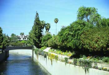
Located at the western gateway to Downtown, 10.5-acre Vista Hermosa Park is an urban natural park developed and maintained by the Santa Monica Mountains Conservancy and the Mountains Recreation and Conservation Authority (MRCA) that boldly returns the serenity and diversity of nature to the Los Angeles urban core. Operated in collaboration with the Los Angeles Unified School District and the City of Los Angeles, Vista Hermosa is the first public park built in this densely populated area in more than a hundred years. The park features walking trails, streams, meadows, oak savannahs, picnic grounds, and a nature-themed playground amidst native Mediterranean vegetation. A FIFA-regulation soccer field is jointly used by the adjacent Edward R. Roybal Learning Center and the L.A. Department of Recreation and Parks. An outdoor amphitheater in a grotto provides an ideal setting for environmental and natural history education, and other public events. Interpretive programs for community and youth are led by MRCA naturalists including the free “Transit to Trails” bus program to the Santa Monica Mountains.
Getting around
Vista Hermosa is a 10.5-acre urban nature park steps from downtown LA, built by the Mountains Recreation & Conservation Authority on a former oil field. It features short native-landscape walking paths (around half a mile of looped paths), a meadow, a streambed and a hilltop lookout with skyline views — designed as a city-edge nature experience rather than a hiking destination. Open daily; the park is co-located with the Edward R. Roybal Learning Center.
Location
Photos


Photo credits: Stephanie Landregan (1) , Matthew B. Wilken (2-4)
Related documents
Nearby parks
Park description restored from the 2017 lamountains.com archive (Santa Monica Mountains Conservancy). Trail statistics courtesy of AllTrails. Map data © OpenStreetMap contributors.