Address: 3431 Fryman Road, Studio City
Park features: Restrooms, Dogs On Leash, Easy Hiking, Equestrian, Mountain Biking, City Views, Picnic Tables, Parking Lot, Filming Location, Drinking Water
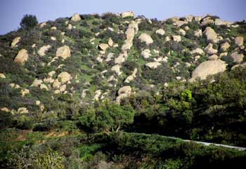
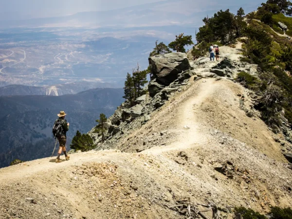
Located in the eastern Santa Monica Mountains off of Laurel Canyon Boulevard, 128-acre Wilacre Park provides access to the Betty B. Dearing trail and the Cross Mountain Park trail system to Fryman Canyon Park, Coldwater Canyon Park, and Franklin Canyon Park. A large parking lot, restrooms, drinking fountains and a picnic area as well as its easy accessibility by car or MTA bus make Wilacre Park a popular destination for hikers and dog walkers, especially on weekends. Although it starts off steep, the wide easy trail meanders through chaparral, walnut woodland and coastal sage scrub, and is well-shaded.
Trails & hiking
Featured route: Fryman Canyon Trail (trail details & live conditions on AllTrails)
- Distance: 2.6 mi (4.2 km) — Loop
- Elevation gain: 452 ft (138 m), high point 1138 ft
- Difficulty: Moderate
- Typical time: 1–1.5 hr
- Rating: 4.7/5 (8,631 AllTrails reviews)
- Good for: Hiking, Mountain biking, Trail running, Walking
- On the trail: Dogs on leash, Kid-friendly, Forests, Views, Wildflowers, Wildlife
Conditions vary by season. Check live weather and air quality on the AllTrails trail page before heading out.
Location
3431 Fryman Road, Studio City
Approximate coordinates: 34.1313, -118.4
View on OpenStreetMap
Photos

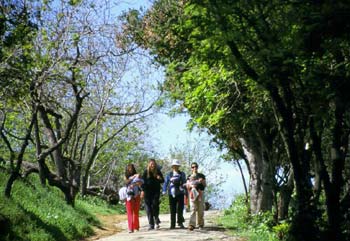
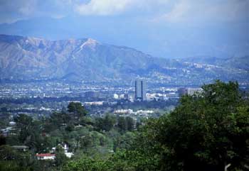

Photo credits: Karin Mueller (1-4)
Related documents
Nearby parks
Park description restored from the 2017 lamountains.com archive (Santa Monica Mountains Conservancy). Trail statistics courtesy of AllTrails. Map data © OpenStreetMap contributors.