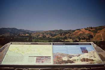
Address: 34138 Mulholland Highway, Malibu
Phone: (818) 597-9192
Park features: Restrooms, Dogs On Leash, Easy Hiking, Picnic Tables, Parking Lot, Drinking Water, ADA Accessible
Accessed from Mulholland Highway, Arroyo Sequit Park is one of the most beautiful destinations in the western Santa Monica Mountains. Park features include a perennial stream, a loop trail, rocks, and meadows that are blanketed with wildflowers in the Spring. The Arroyo Sequit contains some of the best aquatic ecological resources of all the coastal streams in the Santa Monica Mountains. Directions: The park is located at 34138 Mulholland Highway, Malibu. Take Pacific Coast Highway to Mulholland Highway. Turn inland on Mulholland Highway, six miles to park entrance on the right side of road.
Trails & hiking
Featured route: Arroyo Sequit Loop Trail (trail details & live conditions on AllTrails)
- Distance: 1.9 mi (3.1 km) — Loop
- Elevation gain: 354 ft (108 m), high point 1276 ft
- Difficulty: Easy
- Typical time: 0.5–1 hr
- Good for: Birding, Hiking, Walking, Horseback riding
- On the trail: Dogs on leash, Kid-friendly, Views, Waterfalls, Wildflowers, Wildlife
Conditions vary by season. Check live weather and air quality on the AllTrails trail page before heading out.
Location
34138 Mulholland Highway, Malibu
Approximate coordinates: 34.0922, -118.9352
View on OpenStreetMap
Photos

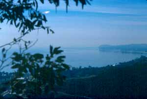
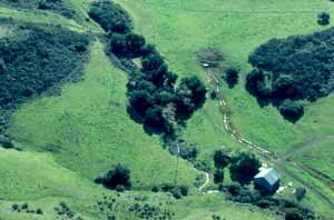
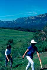
Photo credits: Reva Feldman (1) , Ruth Kilday (2) , SMMC Archive (3-4)
Related documents
Nearby parks
Park description restored from the 2017 lamountains.com archive (Santa Monica Mountains Conservancy). Trail statistics courtesy of AllTrails. Map data © OpenStreetMap contributors.