No continuous bike path links Elysian Valley and Vernon yet.
For about eight miles, you ride city streets. This Los Angeles River bike path guide shows which sections to ride. It also shows how they connect and where to get on.
Los Angeles River bike path guide: rideable sections and gaps
The Los Angeles River runs about 51 miles, from Canoga Park in the San Fernando Valley to Long Beach. The connected bikeway covers only parts of that distance.
Glendale Narrows
- From: Riverside Drive and Zoo Drive Bridge in Griffith Park
- To: Egret Park in Elysian Valley
- Length: about 10 miles, with about 7.4 miles paved
Plan by the map endpoints, not the mileage alone.
The path switches banks at bridges and access points. Check the map before assuming a street on one bank reaches it.
Lower river bikeway
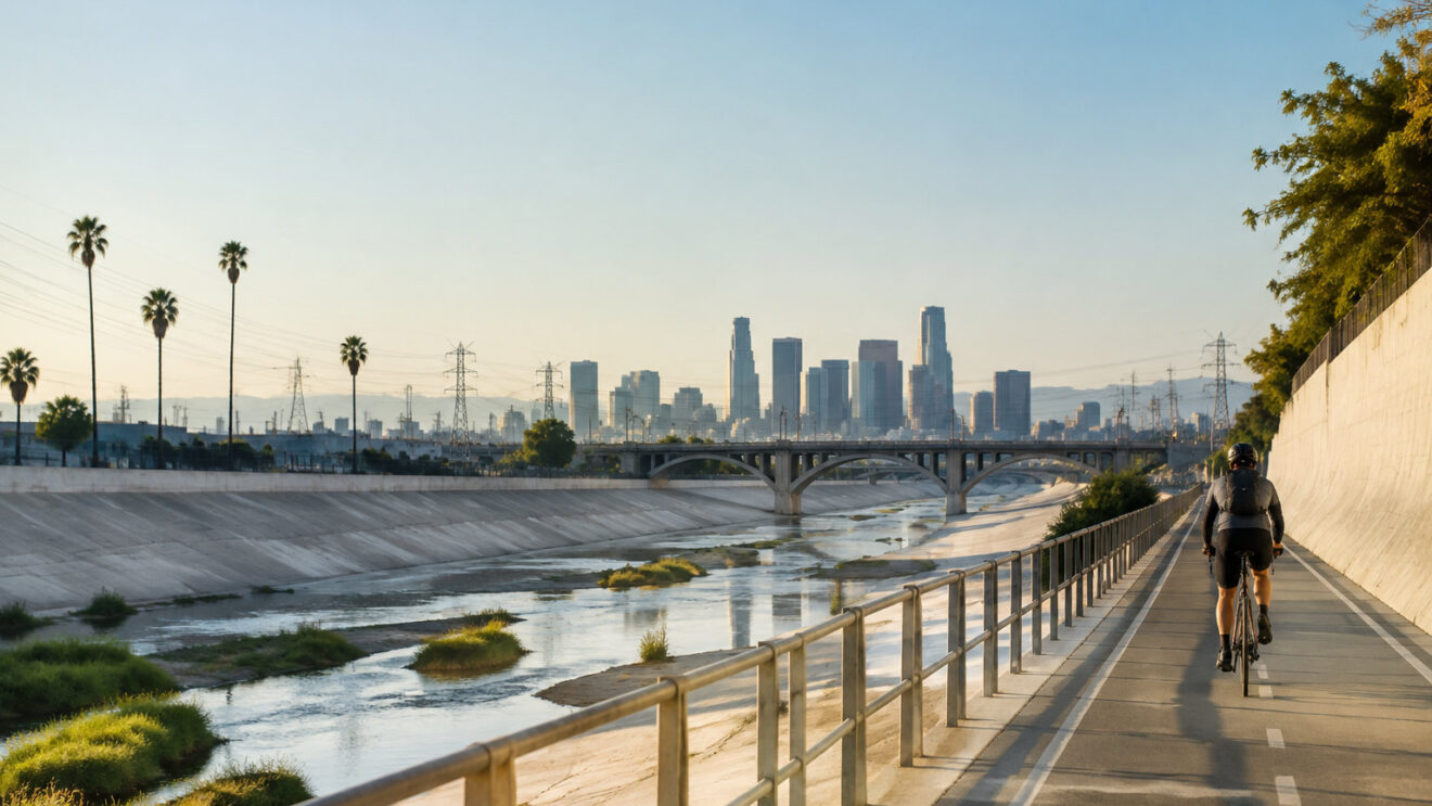
- Start: Atlantic Boulevard in Vernon
- End: Long Beach
- Length: almost 18 miles
A 9.6-mile managed segment runs through South Gate, Paramount, and Long Beach, and it forms part of this route.
Near the Rio Hondo confluence, the route changes banks. It uses the west bank farther north. It crosses near Imperial Highway, then continues on the east bank toward Long Beach.
Rain can close river-adjacent paths, and construction causes temporary closures on the Elysian Valley section. Check the LADOT closure map and call 311 before starting.
Elysian Valley to Vernon gap
The gap covers about eight miles. It runs through Lincoln Heights, Downtown Los Angeles, Boyle Heights, Vernon, and Maywood.
Riders currently use city streets. Busy intersections sit between the two completed sections.
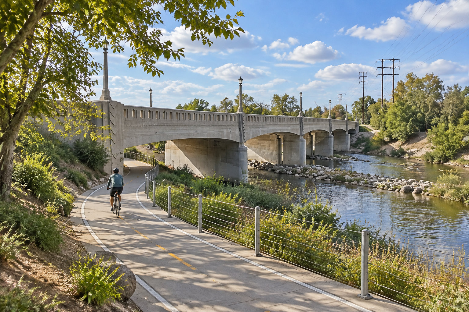
Follow the marked street detour from Egret Park toward Riverside Drive. Then rejoin the river path at Atlantic Boulevard in Vernon. Treat this as an urban road ride, not a separated trail.
Interactive maps and access points help plan a specific river ride
Open the City of Los Angeles LA River Greenway map before you choose a trailhead. It separates river trails from bike-friendly river trails. It also shows access points, parking, and transit.
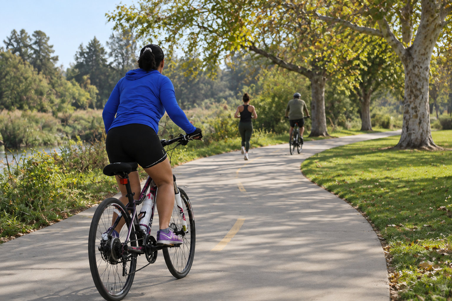
Sepulveda Basin works best for a loop ride. Enter from the Sepulveda Recreation Area near the 101 freeway. You can also enter at Sepulveda Dam, the Orange Line Busway, or the dedicated bikeway.
Griffith Park has parking. Its main access points are:
- Bette Davis Picnic Area
- Ferraro Fields
- The Autry Museum
- The Los Angeles Zoo
The Autry offers free visitor parking at 4700 Western Heritage Way. The exact entrance depends on which side of the river you approach.
Marsh Park has a small parking lot in Elysian Valley. Street parking is also available, but residential supply is limited.
The Los Angeles River Center and Gardens sits near the southern end of the Glendale Narrows route. It has parking and a bicycle facility. Its River Garden Park entrance faces the Arroyo Seco confluence.
Before you pick an entrance
- Open the City of Los Angeles LA River Greenway map and check which sections are bike-friendly.
- Note which side of the river you approach from, since it decides the entrance.
- Check parking at your entry point before you set out, since street spaces near Marsh Park are limited.
Long Beach provides access from the lower river path, Shoreline Drive, Downtown Marina, and Shoreline Aquatic Park. Metro stations sit near several river access streets. The final approach uses city roads.
Riverfront parks and landmarks divide the rides into useful stops
The Glendale Narrows ride passes these parks in north-to-south order:
- Griffith Park
- Atwater Village Riverwalk
- North Atwater Park
- Red Car River Park
- Sunnynook River Park
- Rattlesnake Park
- Marsh Park
- Steelhead Park
- Egret Park
Sepulveda Basin has the main cycling loop in the Valley. It suits a short ride. The West Valley Bikeway and Headwaters Greenway need separate street connections past the basin.
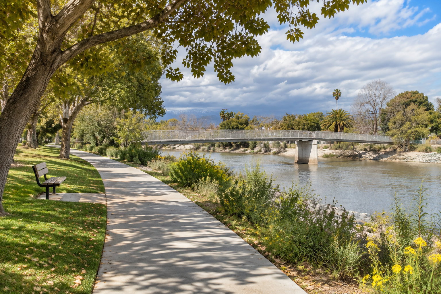
Route-side parks give the most reliable stops for toilets, picnic areas, water, and shade. Facilities vary, though. Check the Brookside Park listing before you count on a drinking fountain or restroom.
Metro’s planned path would connect the Valley, Downtown, and Long Beach
Metro’s LA River Path is still in planning and environmental review. The Draft Environmental Impact Report is out. The Metro Board will pick a locally preferred alternative before the Final EIR.
The project would close the eight-mile gap between Elysian Valley and Vernon. Metro estimates the initial phase will be completed in 2031.
The full proposed corridor would create about 32 miles of connected walking and cycling routes between the San Fernando Valley and Long Beach. The project itself covers only the missing central section.
Metro’s full-length project and its two options differ in length, access points, and river crossings:
| Full-length project | Option 1 | Option 2 | |
|---|---|---|---|
| Length | About 9.6 miles | About 10.1 miles | About 9.1 miles |
| Access points | Nine | 11 | Nine |
| River crossings | Seven | Six | Seven |
Can you bring a dog on the Los Angeles River Trail?
You can bring a dog on the County trail if it stays on a leash no longer than six feet and under control. City park rules apply separately when your route enters Los Angeles city parks.
Does the lower river trail connect to another regional bikeway?
Yes. The lower route meets the Rio Hondo Trail near the river confluence. That trail runs toward Whittier Narrows and links with the San Gabriel River Trail.
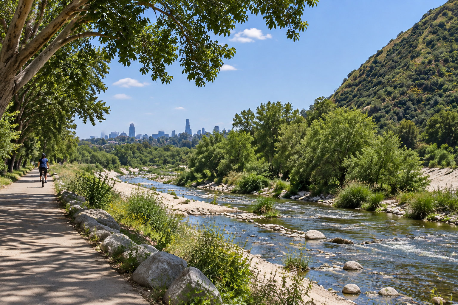
Who maintains the main river bikeways?
Maintenance is split by section:
- The City of Los Angeles maintains the path north of the Metro project area.
- Los Angeles County maintains the path toward Vernon and Long Beach.
- The participating agencies will settle who maintains the future central section.
Until Metro closes the central gap, treat the stretch between Elysian Valley and Vernon as an urban road ride. Plan the marked street detour from Egret Park before you set out, and check the LADOT closure map on the day you ride.