Address: 23601 W. Red Rock Road, Old Topanga
Park features: Restrooms, Dogs On Leash, Easy Hiking, Equestrian, Mountain Biking, Picnic Tables, Parking Lot, Drinking Water
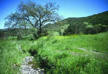
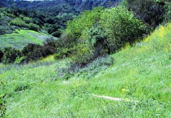
Red Rock Canyon Park is located in the heart of the Santa Monica Mountains off of Old Topanga Canyon Road. The riparian canyon walls are fortified with huge red sandstone outcroppings, reminiscent of Southwest canyons and gorges. Special rockland micro-habitats reside among the many beautiful red, tan and pale purple rocks and oak and sycamore trees at the bottom of the gorge. The park provides a key habitat linkage between Malibu Creek State Park and Topanga State Park. A small picnic area and drinking fountain are available at the trailhead. The trail leads up a fire road through slopes blanketed with toyon, laurel sumac, mountain mahogany, bush sunflowers, and ceanothus to Calabassas Peak, providing spectacular views of the Santa Monica Mountains. It then descends and narrows to the cool bottom of Red Rock Canyon. The trail then meanders through fascinating sculptured rock formations in colors ranging from chalk white to deep red. Directions: From Highway 101 exit Topanga Canyon Blvd. in Woodland Hills and head south one mile to Mulholland Drive and turn right. Turn left on Mulholland Highway and head west 2.2 miles to Old Topanga Canyon Road. Head 3.6 miles south, then turn west on Red Rock Canyon Road. . You may park at this intersection or continue on for .8 mile to the park entrance. Two- tenths of a mile on this road is dirt and unimproved.
Trails & hiking
Featured route: Red Rock Canyon to Fritz and Alma Meier Loop (trail details & live conditions on AllTrails)
- Distance: 3.4 mi (5.5 km) — Out & back
- Elevation gain: 672 ft (205 m), high point 1548 ft
- Difficulty: Moderate
- Typical time: 1.5–2 hr
- Rating: 4.4/5 (83 AllTrails reviews)
- Good for: Hiking, Mountain biking, Trail running, Horseback riding
- On the trail: Dogs on leash, Forests, Views, Wildflowers, Wildlife
Conditions vary by season. Check live weather and air quality on the AllTrails trail page before heading out.
Location
23601 W. Red Rock Road, Old Topanga
Approximate coordinates: 34.0928, -118.6017
View on OpenStreetMap
Photos
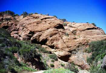
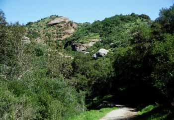
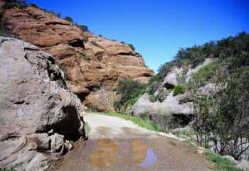
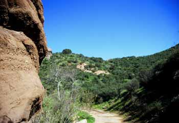
Photo credits: Karin Mueller (1-4)
Related documents
Nearby parks
Park description restored from the 2017 lamountains.com archive (Santa Monica Mountains Conservancy). Trail statistics courtesy of AllTrails. Map data © OpenStreetMap contributors.