Address: Topanga Canyon Blvd., Topanga
Park features: Restrooms, Dogs On Leash, Easy Hiking, Equestrian, Mountain Biking, Picnic Tables, Parking Lot, Filming Location
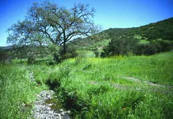
Accessed from Topanga Canyon Boulevard south of Mulholland Drive, 652-acre Edmund D. Edelman Park provides hikers, mountain bikers, and equestrians access to a network of trails into the gently rolling hills of the Summit Valley and upper Topanga Canyon. The trailhead is equipped with parking, restrooms and picnic benches. The stately oak woodlands, native grasslands, and mixed chaparral communities of upper Topanga Canyon provide excellent wildlife habitat and serve as a key link in the east-west wildlife corridor. The park encompasses the headwaters of Topanga Creek as well as the steep cliffs of Santa Maria Canyon. Directions: From the San Fernando Valley, Edelman Park is located .6 mile south of Viewridge Road on the west side of Topanga Canyon Boulevard. From Pacific Coast Highway, Edelman park is located on Topanga Canyon Boulevard four miles north of the intersection of Topanga Canyon and Old Topanga Canyon Boulevard. Parking: A dirt parking area is available at the trailhead.
Trails & hiking
Featured route: Summit Valley Edmund D. Edelman Park Loop (trail details & live conditions on AllTrails)
- Distance: 2.0 mi (3.2 km) — Loop
- Elevation gain: 482 ft (147 m), high point 1801 ft
- Difficulty: Moderate
- Typical time: 1–1.5 hr
- Rating: 4.2/5 (304 AllTrails reviews)
- Good for: Birding, Hiking, Trail running, Walking
- On the trail: Dogs on leash, Kid-friendly, Forests, Views, Wildflowers, Wildlife
Conditions vary by season. Check live weather and air quality on the AllTrails trail page before heading out.
Location
Topanga Canyon Blvd., Topanga
Approximate coordinates: 34.11, -118.601
View on OpenStreetMap
Photos
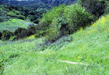
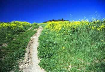
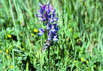
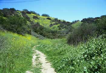
Photo credits: Karin Mueller (1-4)
Related documents
Nearby parks
Park description restored from the 2017 lamountains.com archive (Santa Monica Mountains Conservancy). Trail statistics courtesy of AllTrails. Map data © OpenStreetMap contributors.