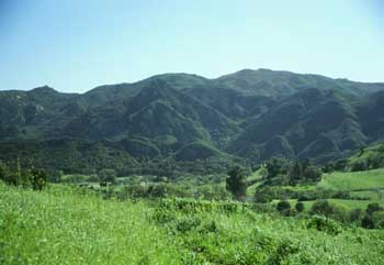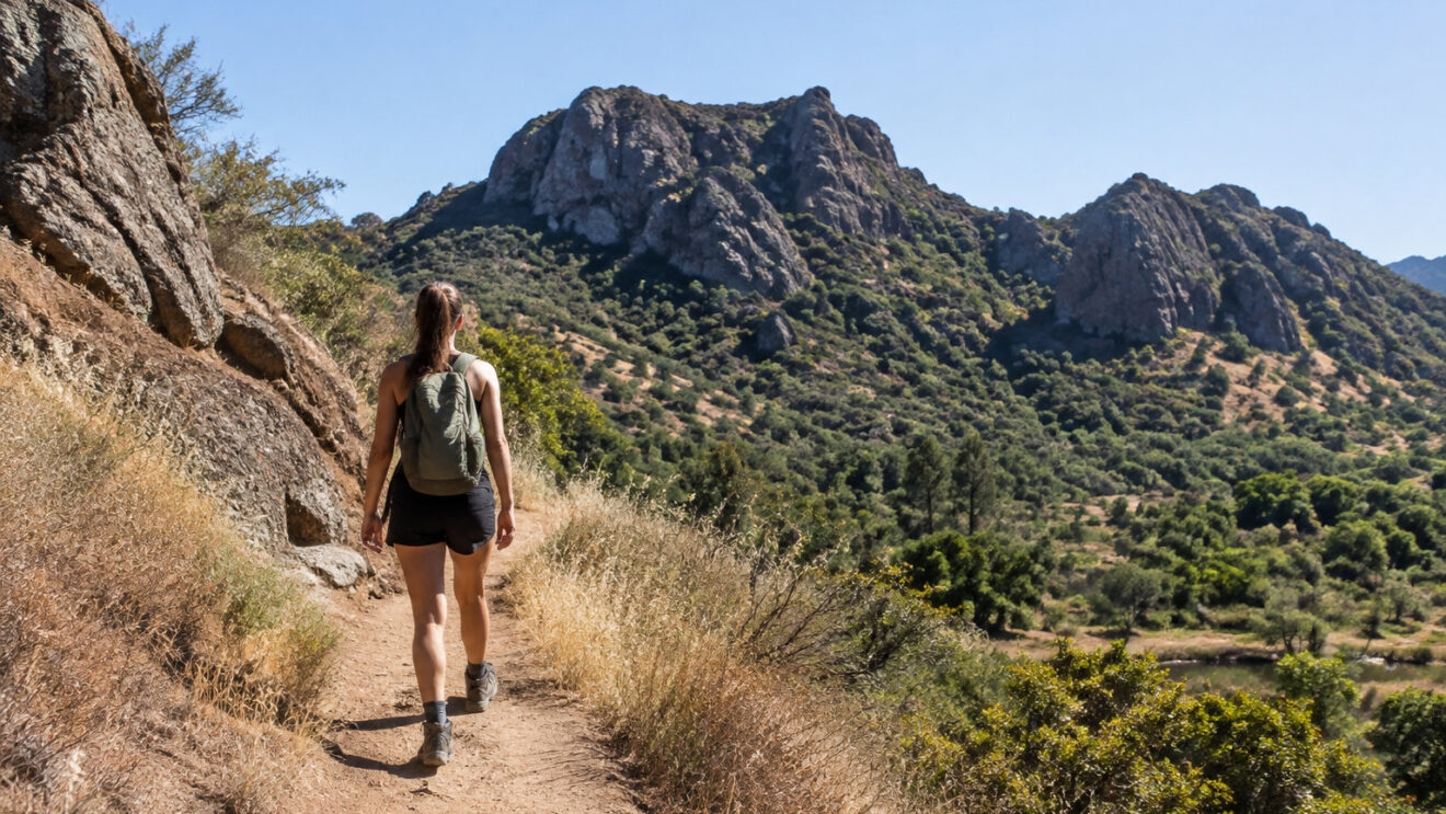
Malibu Creek State Park offers many different hikes in one area. Some trails are flat walks beside the creek, while others are steep climbs.
Choosing the wrong one for your group is easy, so this guide shows which trails to hike, how hard each one is, and the details you need to plan your visit.
Which Malibu Creek trail to choose for your time and fitness
If you want more easy options, check this beginner-friendly trail list before you commit to a longer route. The official ratings below show how hard each option is.
| Criteria | Rock Pool and Century Lake | M\A\S\*H site and Lookout Trail | Bulldog Road |
|---|---|---|---|
| Official rating | Easy | Moderate | Strenuous |
| Who it suits | Families and first-time hikers | Hikers with some trail experience | Fit hikers ready for 1,700 feet of climb over 3.4 miles |
| Choose it when | You want a short outing with little effort | You want a longer walk and can handle more uphill | You want a hard, steady climb |
Dogs are not allowed on hiking trails or dirt roads, so leave yours at home. On a warm day, carry at least 1 quart of water per person for the whole outing, and more on longer hikes. If you run short on the exposed trail, you can get dehydrated before you reach your car.
Crags Road and High Road Loop: the easiest short outing
The Crags Road and High Road loop is the easiest short outing in the park. It covers 1.5 miles on wide, mostly flat ground beside Malibu Creek, so it suits beginners and families.
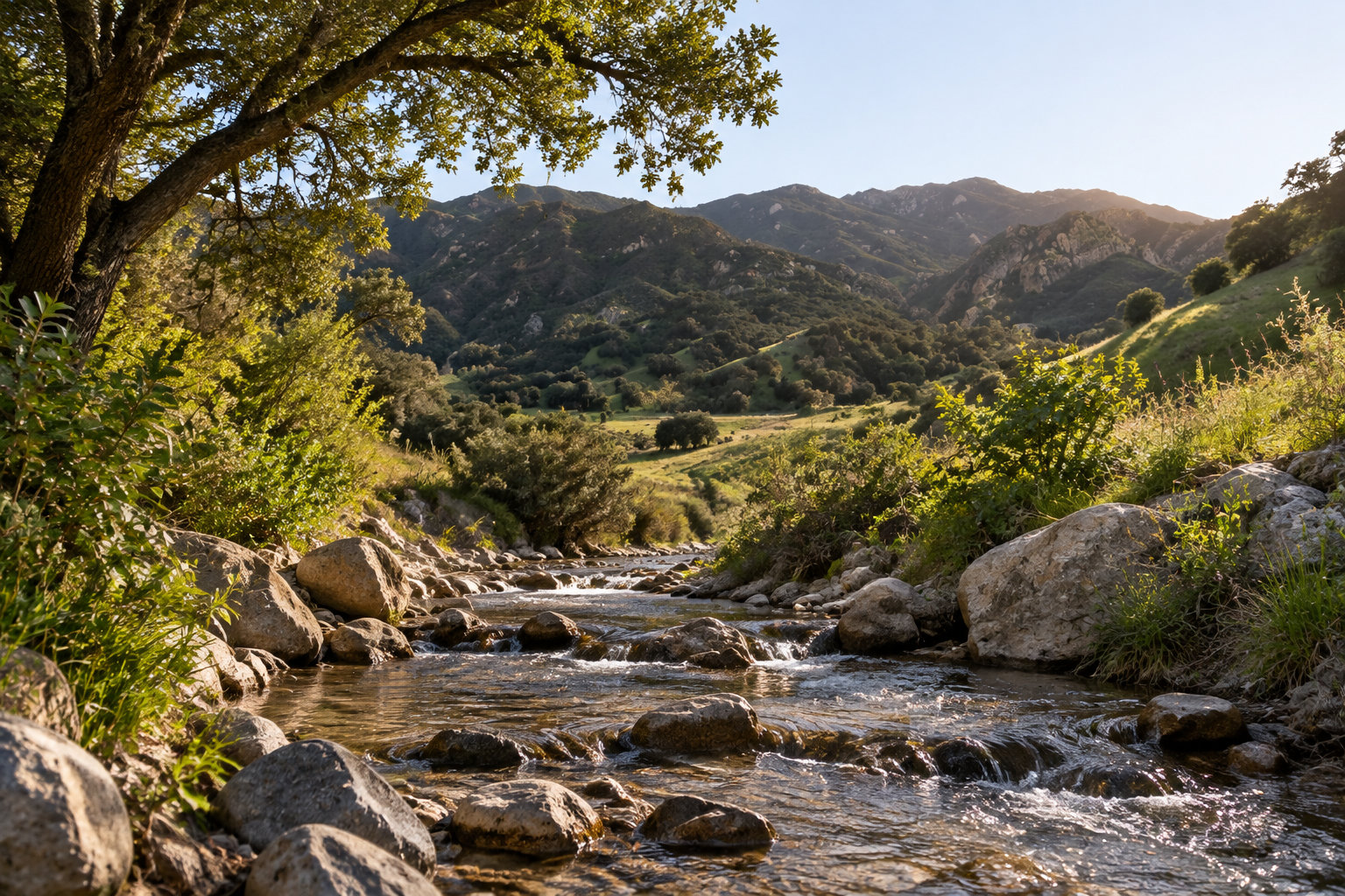
The climb is small: High Road gains only 28 feet over its 0.6 mile. That keeps the loop manageable for children and for anyone who has not hiked much.
Loop in five steps
-
Check the creek before you leave
Water over the far crossing can block the way, since it has no bridge. For how seasonal water changes a creek, read the seasonal water notes for the Escondido Falls hike first. Success: you know the crossing is clear.
-
Park in the main lot on Crags Road
Parking costs $3 for 1 hour, $6 for 2 hours, $9 for 3 hours or $12 for the day, per car. Success: your car is parked and paid for.
-
Walk High Road along the creek
Stay beside the creek until the junction. If water crosses the path at the far end, turn back the way you came. Success: you reach the junction with the creek still in view.
-
Cross the bridge at the junction
Success: you are on the far side of the bridge, and Crags Road is ahead.
-
Return on Crags Road
Follow it back to the main lot. Success: you are at your car, and the loop is closed.
Rock Pool Trail: easy creekside scenery with a little climbing
Rock Pool Trail is 0.2 mile long, with 18 feet of climbing, so it is short and easy.
It runs along the base of Goats Butte beside the creek. It links Crags Road and Crags Trail with Gorge Route and Lost Cabin Trail.
After heavy rain, the Rock Pool is especially scenic. Go north on Century Dam Route toward Century Lake, or take Gorge Route back to Crags Road. For distances and typical times, check the Malibu Creek State Park map.
The Rock Pool is a popular swimming and wading spot in warm weather, but do not dive or jump into it. Submerged rocks hide under the surface, and the water is shallow in places, so a head-first entry can cause serious injury to the head, neck and spine. Wade in slowly from the edge, feet first, and watch where you step. Keep children within arm’s reach.
Century Lake via the Forest Trail: an easy lake walk under redwoods
Century Lake is an easy walk under redwoods. From Crags Road, cross the small bridge and take the Forest Trail. The trail ends at the Century Lake Dam. The redwoods along it were planted around 1910.
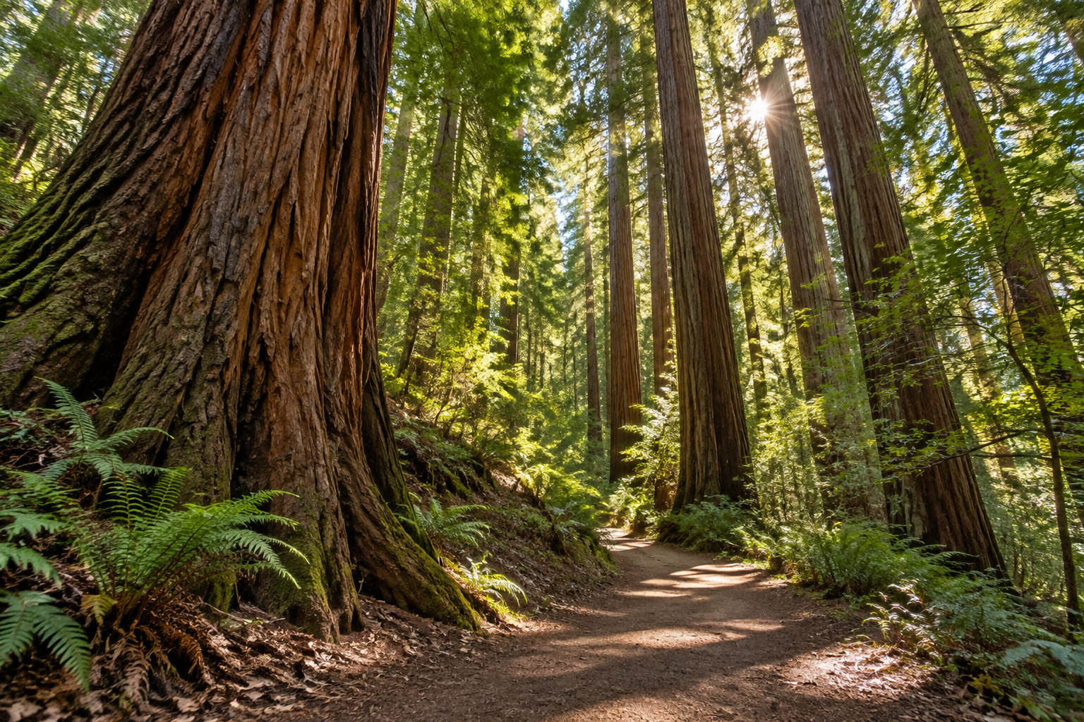
The lake was made when a dam built in 1910 formed a 20-acre lake. Silt, fine mud carried by the creek, later filled much of it, and a freshwater marsh grew there. So expect marsh, not open water.
The park is about four miles south of Highway 101, on Las Virgenes Road, also called Malibu Canyon Road. Enter 1925 Las Virgenes Road, Calabasas, CA 91302, in your GPS.
For a longer day with wide views over the park, see the Las Virgenes View Park loop. Keep in mind that on the Forest Trail you walk back the same way you came.
Crags Road to the MAS*H site: a moderate hike to a filming location
Before you go, keep these points in mind:
- The official difficulty is moderate.
- The route follows a rocky creek bed with large boulders, so watch each step.
- One short, firm uphill climb takes about six minutes.
- The bridge to the M\A\S\*H site was reinstalled on April 21, 2026.
- Download the map, KML or GPX file for Crags Road before you leave.
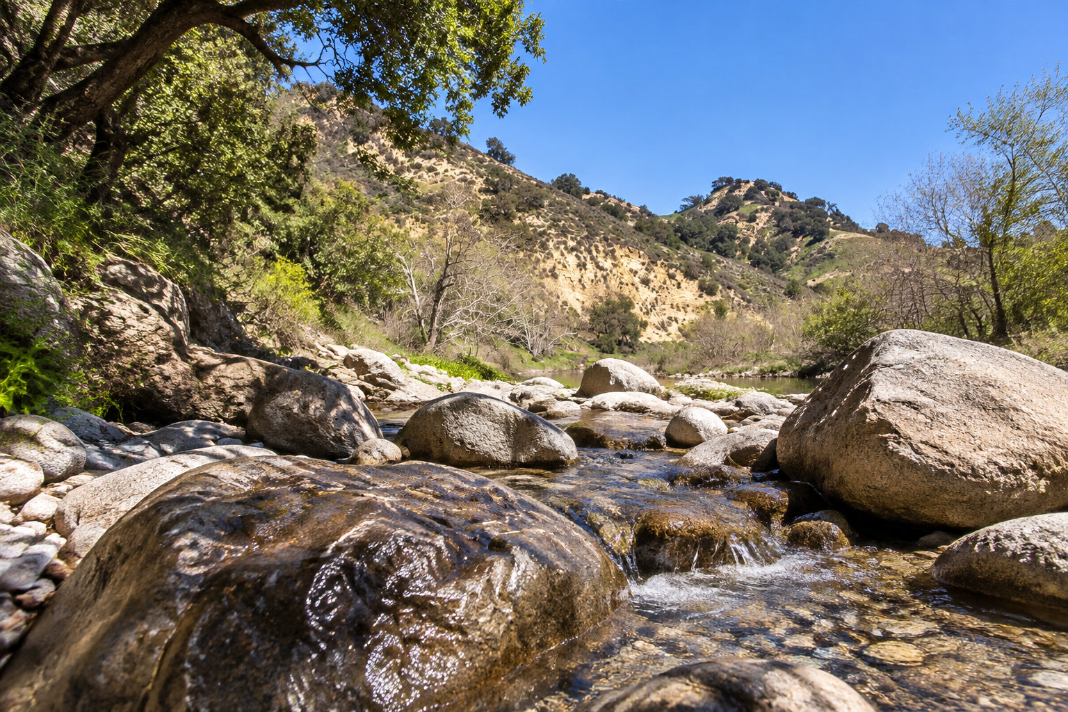
Wet rock is slippery, and a fall on boulders can cause a serious injury. Before you start:
Wear shoes with grippy soles, not sandals.
Bring a hiking pole for balance on the rocks.
The visitor center is about one mile from the main parking lot. It is open Saturdays and Sundays, noon to 4 p.m.
Dogs are not allowed on this trail. For a walk with your dog, try dog-friendly trails in Los Angeles.
Bulldog Road: the strenuous climb for experienced hikers
Three routes use Bulldog Road, from the shortest to the longest:
- Bulldog Road climbs 1,700 feet over 3.4 miles, with views of the park and ocean from the top. It is the direct climb.
- The Little Bulldog Loop covers just over 3 miles round trip. It passes through the Malibou Lake community before returning to the park.
- The Big Bulldog Loop is 15 miles from the main parking lot. It runs through Tapia Park, climbs Mesa Peak Motorway, crosses the ridge and descends Bulldog Road into the park.
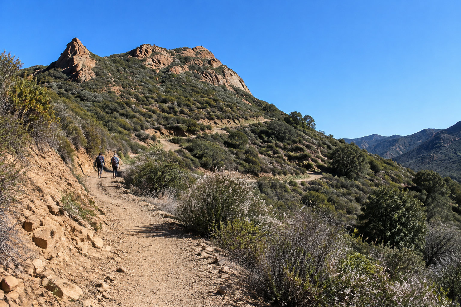
Check the weather first
Normal conditions
- Check the current park alerts before you set out.
- Carry more than 1 quart of water per person. The climb is exposed, and the heat makes it harder.
During a Red Flag Warning
- Hiking trails, fire roads and undeveloped parts of the park close to the public.
- Do not start the climb. Choose another day.
Pick your trail by difficulty first, then check that it fits your group and your fitness. Before you leave, look at the park alerts and the weather, and follow the safety points above.
Your next step is simple: choose one trail from the table, then save its map on your phone before you set out.
Frequently asked questions
Is Malibu Creek State Park open?
Yes, Malibu Creek State Park is open, with restrictions on some services and facilities. Day-use parking runs from 8 a.m. to 10 p.m.
Check the current park alerts before you leave. The visitor center is open Saturdays and Sundays, noon to 4 p.m.
Can I reserve a campsite at Malibu Creek State Park?
Yes, you can reserve a campsite at Malibu Creek State Park through ReserveCalifornia. Search for the park on that site, pick your dates, and book your site before you arrive.
Is there a visitor center at Malibu Creek State Park?
Yes, Malibu Creek State Park has a visitor center. It is open Saturdays and Sundays, from noon to 4 p.m. It sits about one mile from the main trailhead parking lot, so plan that extra walk into your visit.
How much does parking cost at Malibu Creek State Park?
Parking costs $3 for 1 hour, $6 for 2 hours, $9 for 3 hours, or $12 for the full day, per car.
Pay for the time you need in the main lot on Crags Road, since that is where the loop starts.